Download
1 / 1
10 likes | 231 Views
4. Methods What is risk? Risk = Exposure * Vulnerability

E N D
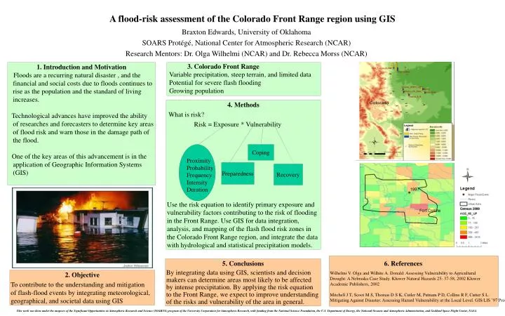
4. Methods • What is risk? • Risk = Exposure * Vulnerability • Use the risk equation to identify primary exposure and vulnerability factors contributing to the risk of flooding in the Front Range. Use GIS for data integration, analysis, and mapping of the flash flood risk zones in the Colorado Front Range region, and integrate the data with hydrological and statistical precipitation models. Coping Proximity Probability Frequency Intensity Duration Preparedness Recovery A flood-risk assessment of the Colorado Front Range region using GIS 3. Colorado Front Range Variable precipitation, steep terrain, and limited data Potential for severe flash flooding Growing population • Introduction and Motivation • Floods are a recurring natural disaster , and the financial and social costs due to floods continues to rise as the population and the standard of living increases. • Technological advances have improved the ability of researches and forecasters to determine key areas of flood risk and warn those in the damage path of the flood. • One of the key areas of this advancement is in the application of Geographic Information Systems (GIS) Braxton Edwards, University of Oklahoma SOARS Protégé, National Center for Atmospheric Research (NCAR) Research Mentors: Dr. Olga Wilhelmi (NCAR) and Dr. Rebecca Morss (NCAR) 6. References Wilhelmi V. Olga and Wilhite A. Donald: Assessing Vulnerability to Agricultural Drought: A Nebraska Case Study. Kluwer Natural Hazards 25: 37-58, 2002 Kluwer Academic Publishers, 2002 Mitchell J T, Scoot M S, Thomas D S K, Cutler M, Putnam P D, Collins R F, Cutter S L: Mitigating Against Disaster: Assessing Hazard Vulnerability at the Local Level. GIS/LIS ’97 Proceedings. 563-571. Bethesda: ACSM, ASPRS, AM/FM, AAG, URISA. 1997 5. Conclusions By integrating data using GIS, scientists and decision makers can determine areas most likely to be affected by intense precipitation. By applying the risk equation to the Front Range, we expect to improve understanding of the risks and vulnerability of the area in general. 2. Objective To contribute to the understanding and mitigation of flash-flood events by integrating meteorological, geographical, and societal data using GIS This work was done under the auspices of the Significant Opportunities in Atmospheric Research and Science (SOARS®) program of the University Corporation for Atmospheric Research, with funding from the National Science Foundation, the U.S. Department of Energy, the National Oceanic and Atmospheric Administration, and Goddard Space Flight Center, NASA