Download
1 / 2
20 likes | 29 Views
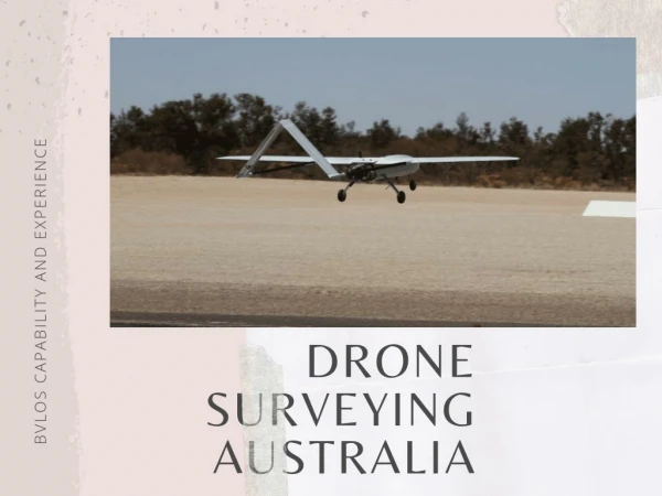
With new drone surveying and mapping, the process has become faster, safe, and more efficient. Here are the benefits of using a drone for surveying and mapping.

E N D
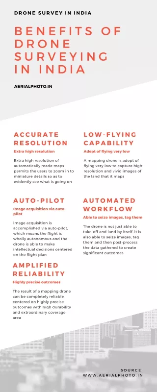
5 Remarkable Benefits of Using Drone Surveying and Mapping Surveying and mapping are integral parts of various industries. These techniques can be commonly seen in architecture, transportation, and communications. However, gone are the days when people spent days and weeks completing these tasks. With new drone surveying and mapping, the process has become faster, safe, and more efficient. As we say, modern problems need modern solutions! So, how are drones used for surveying and mapping, and what benefits does it bring to the table? Let’s take a look. How are drones used for surveying? A drone survey uses an unmanned aerial vehicle (UAV), known as a drone, to collect airborne data. A drone uses technology like downward-facing sensors such as RGB or multispectral cameras and LIDAR payloads. During the survey, the ground is photographed numerous times from various angles with a drone with an RGB camera. After that, each image is tagged with coordinates and converted into 2D or 3D models using large-scale photogrammetry. Drone surveys are among the best aerial solutions taking over as the preferred surveying technique in a wide range of businesses. Benefits of using a drone for surveying and mapping Reduced survey time Traditional surveying techniques demand planning, preparation, and measurement, which is time-consuming. Whereas, drones can collect topographic data up to five times more quickly and with less labor than traditional methods. In the end, you deliver your survey data faster and for less money. Better on-site safety
With aerial mapping, you don’t need to expose yourself to potential risks and injuries. Since you can control drones from a large distance, you don’t have to visit rough terrains and high- risk areas. Accurate data measurements You can use drone data to extract extremely precise distance and volumetric measurements. These devices produce hundreds of accurate data points by taking succesive high-definition pictures from various perspectives. Hence, developers can generate 3D models of buildings and places using elevation points, geo-references, and colors through 3D asset visualization. Help map inaccessible areas Do you need to survey difficult terrains? Aerial mapping drones can take off and fly practically any place! You are no longer constrained by inaccessible places like dangerous steep slopes or rough terrain unsuited for conventional measuring tools. In addition, roads and railroad tracks do not need to be shut down for surveying. Cost-effective Drone surveys have comparatively minimal overhead compared to terrestrial, light aircraft, and helicopter surveys. Drone surveys can make even complicated surveys cost-effective by replacing otherwise costly methods and equipment. As a result, it is a cost-effective solution that doesn’t compromise quality and accuracy. Conclusion Drones are a highly efficient and time-saving method for surveying various projects in any business. The precision of the data and the significantly faster turnaround time is what every business seeks. No doubt, it is quickly replacing other surveying methods as the most efficient way to collect data today! Therefore, Eye-bot emerges as your trusted partner to get all the latest technologies, ranging from drone surveying to architectural laser scanning. Looking for the best 3D laser scanning services for your next project? Contact them today.