Download
1 / 16
160 likes | 402 Views
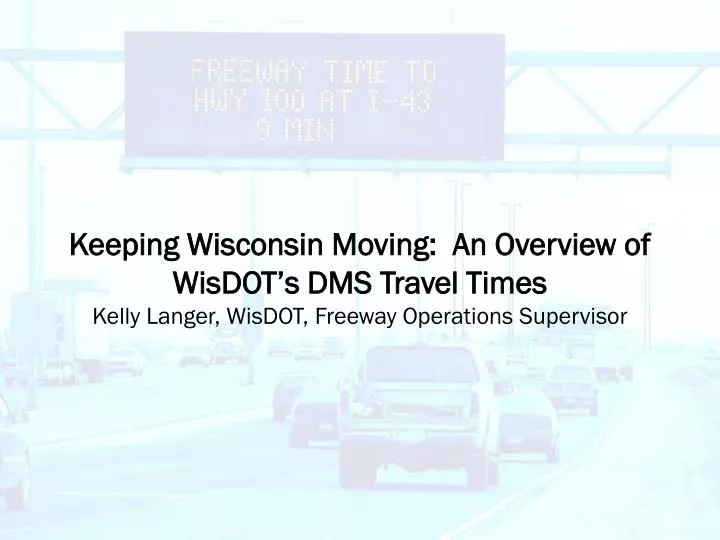
Keeping Wisconsin Moving: An Overview of WisDOT’s DMS Travel Times Kelly Langer, WisDOT, Freeway Operations Supervisor. Southeast Wisconsin at a glance. City of Milwaukee population: 676,000 Milwaukee Co. population: 1,500,000 Heavily traveled freeway corridors:

E N D
Keeping Wisconsin Moving: An Overview of WisDOT’s DMS Travel TimesKelly Langer, WisDOT, Freeway Operations Supervisor
Southeast Wisconsin at a glance • City of Milwaukee population: 676,000 • Milwaukee Co. population: 1,500,000 • Heavily traveled freeway corridors: • I-94 EB / WB from downtown to Hwy 100 (*AADT: 153,000) • USH 45 NB / SB North of I-94 (AADT: 137,000) • I-94 NB / SB South of I-894 (AADT: 143,000) *AADT= Average Annual Daily Traffic
WisDOT Traffic Operations Center • 36 DMS on freeways and major arterials • 125 ramp meters in metro Milwaukee • 100 cameras on Milwaukee area freeways and major arterials • Control Room operated 24/7 • Highway Advisory Radio (HAR) • Crash Investigation Sites • Media Partnerships
Traffic Incident Management Enhancement Program - TIME • Bi-monthly meetings of law enforcement, public partners, private partners, universities • Sub-committee sessions for special events, incident management, corridor traffic management, outreach and public information • ITS allows the freeway corridor to be viewed and operated as a single entity, which aids in managing congestion • Dealing with 30% increase in volume over the past ten years
WisDOT DMS Timeline • 1993 • Local traffic reporter began giving travel times as part of his traffic reports via airplane • 1994 • WisDOT began using loop detectors that were installed in 1970’s to calculate speed/volume • 1995 • Began limited DMS travel time publishing • Only published after heavily verified by test drives • Only displayed during control room hours – aprox. 10 hours per day
WisDOT DMS Timeline • 1998 • Improved reliability of travel times and computer network • 1999 • More DMS added – more travel times added • Some new travel times based on public input • Travel times added to WisDOT internet pages • 2000 • Travel times displayed 24/7 on every DMS • Continue to monitor travel times and adjust as appropriate • 2004 • “Time of Day” travel times began
WisDOT DMS Usage • Travel Times • Incidents • Amber Alert • Special Events • Construction and weather information • Congestion information
How Travel Times are Calculated • In pavement detection: • ¼ mile spacing in urban areas • 2 mile spacing in rural areas Traffic Operations Center FTMS* Server: Average Speed/Known Distance = Time Updates every 60 seconds Website updates every 3 minutes *FTMS= Freeway Traffic Management System
WisDOT Travel Times • All corridors in metro-Milwaukee have at least one travel time (Four inbound corridors and five outbound corridors) • Destinations for travel times were chosen by interchanges or major cross streets – frequently use static signed streets to allow travel times to be useful for visitors as well as commuters • No data from “probe” vehicles, detector data only Arterial DMS - Roadside
WisDOT Travel Times • Simple requirements were developed for each travel time – travel times on DMS round up • Travel Times will not display if 33% of the links are invalid • WisDOT internet site displays travel times to the second
Travel Time Calculations • The shorter the travel time distance (Point A to Point B), the more accurate the travel time is likely to be for the driver • If the FTMS server is not operating properly, computer program removes travel times from the DMS’ within 10 minutes • 66% of the detectors have to be reporting valid data for travel times to be published (i.e. at least one lane of data can be non-reporting or have 33% detector failure to display the travel time)
Data Extractor • Enables WisDOT to retrieve volume, speed, and occupancy data from the SE Wisconsin Freeway • Used to retime Ramp Meters while using up-to-date data • Used to prepare reports for various different agencies (Sheriff’s Dept., media, public)
Obstacles to posting Travel Times • Maintenance of detectors and verifying detector accuracy (Making sure reporting links are sending accurate data to the communications server) • Developing consensus among WisDOT staff with public and media input as to which initial routes to display • Developing meaningful travel time messages that would fit on signs • Putting confidence in reliability of network and software before allowing messages to display without immediate oversight • Ongoing travel time verification
Public Involvement and Feedback • No formal campaign for introducing travel times due to the length of time of implementation • News agencies requested several interviews over the course of implementation • Initial skepticism regarding accuracy was quickly replaced by motorists depending on the travel times • No formal study of public perception has been conducted “I love your travel time website! I surf it every day!” “I do appreciate the ability to view this travel time information. It is very helpful to the general public.” “The travel times help me determine which route to take when I get to the Hale Interchange; if both routes are backed up I can exit at Layton Ave.” “You’ve spoiled us with the travel time availability…”
WisDOT’s Future Travel Time Plans • WisDOT is developing software to report travel times via Highway Advisory Radio – AM 1610 (“Text to Voice”) • Travel Time Facts • Longest DMS travel time route is 20 minutes in free-flow traffic • Shortest DMS travel time route is 6 minutes in free-flow traffic • 33 DMS and ADMS signs display travel times in southeastern Wisconsin (of 36 signs) • Travel time routes are displayed on the public WisDOT website – various news agencies and other sites link to the data
THANK YOU!QUESTIONS?? Kelly Langer - 414-227-2160 – kelly.langer@dot.state.wi.us Wisconsin Department of TransportationTraffic Operations Center633 W. Wisconsin Ave. Suite 1200Milwaukee, WI 53203 414-227-2166 – milwaukee.toc@dot.state.wi.us