Download
1 / 1
10 likes | 25 Views
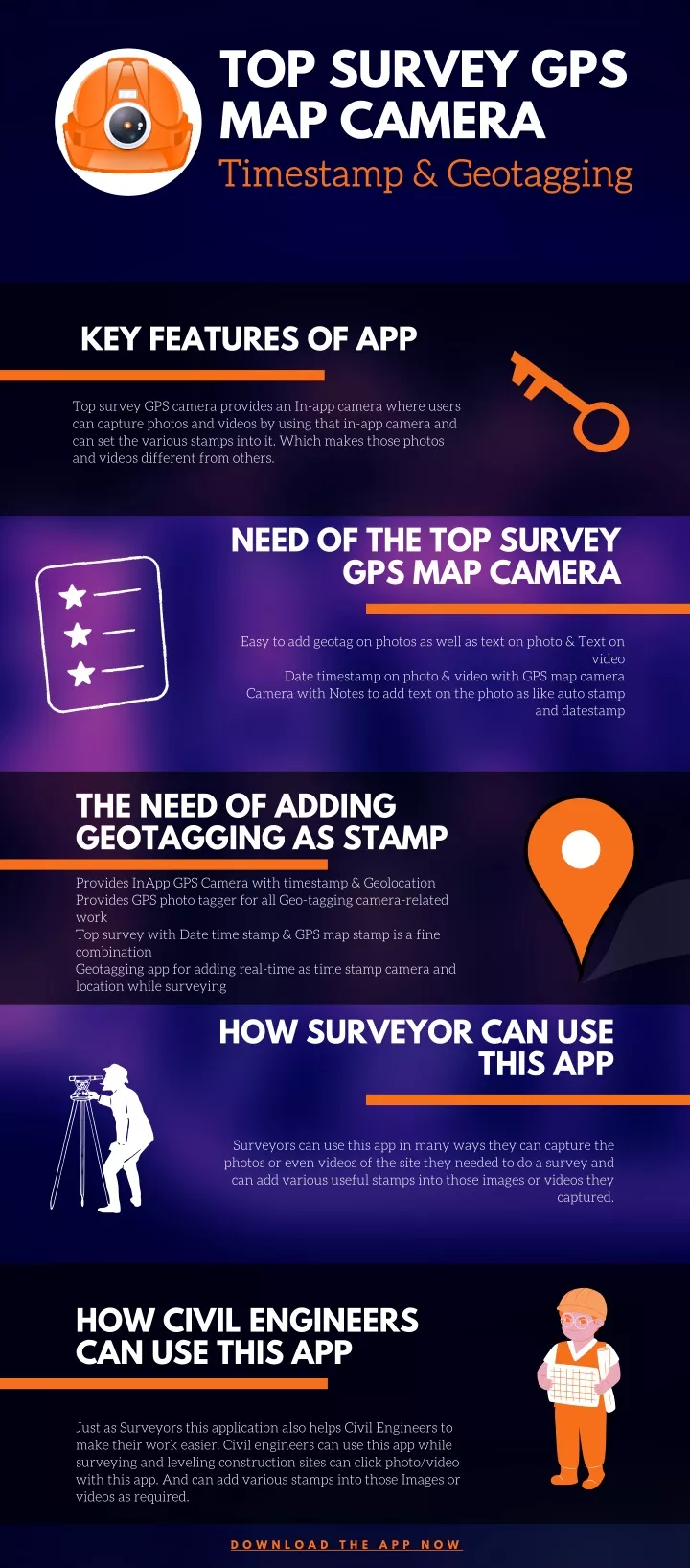
Top Survey GPS map camera Timestamp & Geotagging<br>While surveying, add GPS location stamp, Date Timestamp, Note & Geotag on photo<br>The top survey is an App that can help while surveying on the field by a finely crafted camera having all the requisites in support of surveyors. Civil engineers, Photographers, Archaeologists, researchers, etc can take maximum benefits of such an amazing tool during their site survey.<br><br>Download The App Now<br>http://bit.ly/3oehWXz

E N D
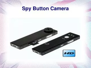
TOP SURVEY GPS MAP CAMERA Timestamp & Geotagging KEY FEATURES OF APP Top survey GPS camera provides an In-app camera where users can capture photos and videos by using that in-app camera and can set the various stamps into it. Which makes those photos and videos different from others. NEED OF THE TOP SURVEY GPS MAP CAMERA Easy to add geotag on photos as well as text on photo & Text on video Date timestamp on photo & video with GPS map camera Camera with Notes to add text on the photo as like auto stamp and datestamp THE NEED OF ADDING GEOTAGGING AS STAMP Provides InApp GPS Camera with timestamp & Geolocation Provides GPS photo tagger for all Geo-tagging camera-related work Top survey with Date time stamp & GPS map stamp is a fine combination Geotagging app for adding real-time as time stamp camera and location while surveying HOW SURVEYOR CAN USE THIS APP Surveyors can use this app in many ways they can capture the photos or even videos of the site they needed to do a survey and can add various useful stamps into those images or videos they captured. HOW CIVIL ENGINEERS CAN USE THIS APP Just as Surveyors this application also helps Civil Engineers to make their work easier. Civil engineers can use this app while surveying and leveling construction sites can click photo/video with this app. And can add various stamps into those Images or videos as required. D O W N L O A D T H E A P P N O W