Download
1 / 14
160 likes | 237 Views
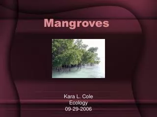
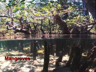
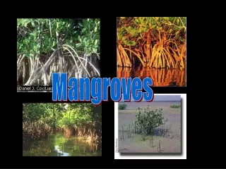
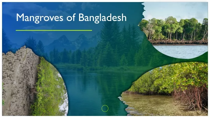
This presentation summarizes the regions of Mangroves are often found in Bangladesh

E N D
Contents Distribution Zonation Goods and Services Threats
Distribution of Mangroves in Bangladesh Apart from Sundarbans, mangrove species can be found on Chakaria and Satkhira too! The Sundarbans- latitudes 21°31' and 22°30'N and longitudes 89° and 90°E. Area: 5700 sq km. Chakaria Sundarbans - latitudes 21°36' and 21°45’ N and longitudes 91°58' and 92°05’ E. Area: 182 sq km. Central part of the Bangladesh coast – By the Meghna estuary there are about 110 sq km area of mangrove species. Locations of Mangroves
Based on location, Sundarbans is divided into four ranges • Satkhira • Khulna • Chandpai • Sarankhola ADD A FOOTER
Mongla Chandpai Bhola Sarankhola Based on freshwater activity, we can divide Sundarbans into three zones Pasur r. Sibsa r. Dudmukhali Morjat r. Hangsha Raj Katka Pushpakathi Kunga r. Hiron point Malancha r. Dubla Mandarbaria • Polyhaline zone • Mesohaline zone • Oligohaline zone
Zonation Zonation is the arrangement or patterning of plant communities or ecosystems into brands in response to change, over a distance, in some environmental factor. Their positions depend on land elevation, salinity, and tidal changes. Salinity, inundation & sedimentation rate increase towards the shore
The mangroves have three distinctive horizontal zones, sorted according to their adaptability to saline water. Coastal Zone Nearest to the coast Avicennia and Sonneratia trees (also known as black mangrove) are common Prop roots Middle Zone Behind the coastal zone Rhizophora trees (also known as red mangroves) are more common Pneumatophores Inland Zone Closest towards land Bruguiera, Ceriops, Xylocarpus and Heritiera trees (also known as white mangroves) are more common. No special root system. Middle Zone Inland Zone Coastal Zone
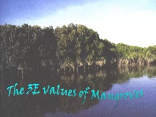
Services Value Maintenance Provision Protection Cultural, Spiritual & Religious Educational & Scientific information Tourism Shoreline erosion Flood Cyclone Wave Breeding Ground Nursery Ground Fishing Ground Coastal Livelihood Local & Global Climate Bio-diversity & Genetic Resource Storage & recycling organic material Top-soil formation and fertility Biological ecosystem resilience
Goods Furniture, Glue, Wax Timber, Poles, Thatch Cotton, Fibers, Tannins, Dyes Float, Poles,Herbal Poison Aquarium fish, Medicines, Food for cattle, Manure, Paper Fire-wood, Charcoal Fish, Crab, Shrimp, Molasses, Honey, Fruits, Alcohol, Vinegar
Threats Climate Change Mangrove Loss 35% between 1980 – 2000. Losing area equivalent to 150,000 football stadium annually which is 4 times higher than overall global forest loss. Air temperature & rainfall regimes influence global mangrove distribution, abrupt changes in sea level are primary cause of local & regional extinctions. Royal Bengal Tiger Loss Logging Home of 500 royal Bengal tiger is being destroyed because of growing erosion, rising sea levels, storm surges, global warming, ecological imbalance etc. Can cause altered species composition fragmentation & total clearances of mangrove forest
Threats Coastal Development Aquaculture Causes more than half of mangrove losses globally mostly due to shrimp culture. Urbanization drives mangrove loss and degradation. Human population density in coastal regions is 3 times higher than global average. Tourism Pollution Walking off paths, lighting fires, feeding wildlife, anchoring on reefs, and collecting shells and plants are also destructive. Mangrove's aerial roots through which they obtain oxygen, can easily be smothered & clogged by sediment, solid waste & oil.