Download
1 / 12
120 likes | 129 Views
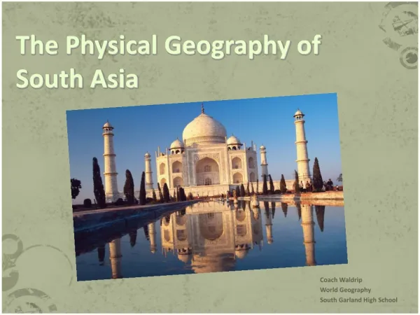
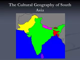
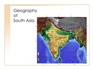
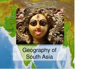
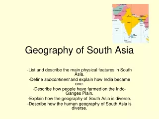
Geography of South Asia. South Asia. Home to more than 1.6 billion people O ne of the most densely populated regions on Earth I ncludes the nations of India, Pakistan, Afghanistan, Bangladesh, Bhutan, Sri Lanka, the Maldives, and Nepal India makes up a majority of the land in South Asia

E N D
South Asia • Home to more than 1.6 billion people • One of the most densely populated regions on Earth • Includes the nations of India, Pakistan, Afghanistan, Bangladesh, Bhutan, Sri Lanka, the Maldives, and Nepal • India makes up a majority of the land in South Asia • Subcontinent:Large landmass that is smaller than a continent
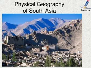
Mountain Ranges • Himalaya Mountains: 1,500-mile-long range of mountains in Asia; Highest on earth • Create a massive wall that separates the Indian subcontinent from the interior of Asia • Hindu Kush Mountains: Located in Afghanistan and Pakistan • Khyber Pass runs through the Hindu Kush(33 miles long; used by traders and invaders) • Eastern and Western Ghats: Low-lying mountain ranges around the Deccan Plateau in India A view of the Himalayas from Kathmandu, India. Himalaya is a Sanskrit word that literally means "abode of snow."
Other Landforms • Indo-Gangetic Plain: Massive plains that extend across the north and west from Pakistan to eastern India and Bangladesh • Great rivers flow through these and create flat river basins • Thar Desert is located in it (Northwest India)
Deccan Plateau • Deccan Plateau: Located south of the great plains • Region of high, flat land crossed by many rivers and broken by low, rolling hills • Occupies nearly half of South Asia • Millions of farms are located here • Bordered by the Vindhya Mountains and the Eastern and Western Ghats
Rivers • Major rivers are located on the Indo-Gangetic Plain • Indus River: Principal river of Pakistan; empties into the Arabian Sea • Brahmaputra River: Begins in the Himalayas in Tibet and travels across some 1,800 miles before joining the Ganges River at the massive Ganges-Brahmaputra Delta • Ganges River: Begins in Himalayas; joins the Brahmaputra in Bangladesh; empties into Bay of Bengal • Most holy river for Hindus
Climate of India • Tropical in the south and temperate in the north • Rainfall varies by region (some areas have tropical rainforests) • Often inconsistent and violent • 4 seasons • Cool, dry (Dec.-Feb.) • Hot, dry (March-May) • Wet (June-Sept.—monsoon) • Drier monsoon (Oct.-Nov.)
Monsoons • Monsoon: Seasonal wind that dominates the climate of South Asia • Key to life for farmers: need the rain that the monsoon winds bring • Issues: Sometimes there is too much rain and sometimes there is too little • Wet monsoon:Late May or early June • Dry monsoon:October Flooding in Bangladesh from the monsoons