Download
1 / 10
100 likes | 228 Views
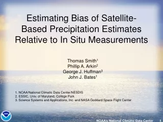
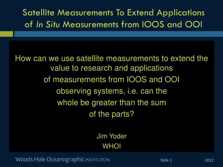
Satellite Measurements To Extend Applications of In Situ M easurements from IOOS and OOI. How can we use satellite measurements to extend the value to research and applications of measurements from IOOS and OOI observing systems, i.e. can the whole be greater than the sum

E N D
Satellite Measurements To Extend Applications of In SituMeasurements from IOOS and OOI How can we use satellite measurements to extend the value to research and applications of measurements from IOOS and OOI observing systems, i.e. can the whole be greater than the sum of the parts? Jim Yoder WHOI
Outline Have IOOS and OOI programs studied this question? Are there appropriate models to consider? What ocean science subfields will benefit the most from a report? What measurements will be available from IOOS and OOI? What satellite measurements will be available?: Lw, SST, SSH, Winds, SSS How are satellite and in situ measurements combined? What is the role of numerical models as data integrators ? This is a broad topic. What should be the focus?
Have those involved with IOOS and OOIstudied this question? Apparently Not (although E. Lindstrom disagrees). Chair of the OOI Program Advisory Committee believes that ties to remote sensing are lacking in OOI. Supports RCN efforts. ZdenkaWillis (NOAA-IOOS) is not aware of any reports on this topic. nor does she believe that IOOS has focused on it in any way.
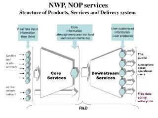
Are there appropriate models to consider? Satellite Obs. From Chave et al. 2009
Are there appropriate models to consider?GHRSST is a specific example. GHRSST program provides merged, gridded and gap-free SST data sets produced from in situ, satellite microwave and satellite infrared sensor data. From Donlon et al. 2009
What subfields of ocean science would benefit the most from a report? Global-scale physical oceanography is probably there already. Continuous satellite measurements of SSH, SST, Winds, Ice and OCR From Clark et al. 2009
What satellite and in situ measurements will be available? What measurements, other than salinityand temperature will be available from IOOS and OOl in the future? Good question. What satellite measurements will be available? Lw, SST, SSH, Winds, sea ice, and SSS now available. For the future, high resolution SSH will be also available from SWOT, plus improved Lw
How are satellite and in situ data combined? Some of the data assimilation methods used by GODAE systems System Name Country Data Assimilation Method Reference BODAS Australia Ensemble Optimal interpolation Oke et al., 2008 ECCO-JPL USA Kalmanfilter and smoother Fukumori, 2002 FOAM UK Analysis correction Martin et al. 2007 Mercator France Static SEEK filter Brasseuret al., 2005 MOVE/MRI.COM Japan multivariate 3DVAR Fujii and Kamachi, 2003
What are the best opportunities? Coastal and interdisciplinary. Lindstrom: “New satellites are on the way (GeoCape and SWOT) that will have better resolution for coastal waters.” “Focus on a topic/subject that gets out in front. Vision for 2020 or 2025. What’s missing?”