Download
1 / 10
100 likes | 105 Views
Learn about NOAA's geodetic control and coastal mapping program, and how it provides reliable data for flood mapping, shoreline changes, and emergency response. Find out about the importance of modernizing height measurements using GPS and gravity models.

E N D
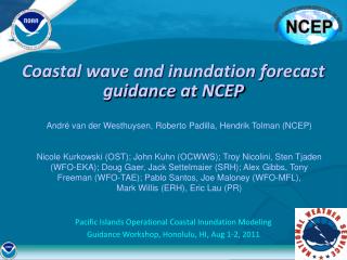
NOAA Data, Products, and Services for Coastal Inundation Geodetic/Tidal Control Daniel R. Roman, Ph.D. Acting Chief Geodesist, GRAV-D P.I. Insurance Data and Information Workshop 13-14 June 2016, Washington D.C.
National Geodetic Survey:What we do, why you should care “We’re the people who define latitude, longitude, heights of all types, and shoreline for the federal government so that every map produced by any federal agency will be consistent with every other federal agency’s maps. In turn, this means consistent positioning for commercial, engineering, and scientific applications.” -- The standard “elevator speech” Meaning: • Geodetic Control (Datums : NAD 83, NAVD 88) • Coastal Mapping Program Questions we help answer: • How high is that levy, and how much did it sink in the last decade? • Am I in a floodplain? • How much has the shoreline changed at this location? • Is my house still standing after an extreme weather event?
National Geodetic Survey: Water obeys gravity, not geometry House 2 is “lower” than House 1 and will flood first Two houses, same distance from some flooding source…so… 1 2 Which house will flood first? H2 H1 h2 Same time? I mean, it “looks flat”… Use NGS’s Orthometric (“gravity based”) heights (NAVD 88)? Measure it with GPS? h1 Same height, so…same time? (We don’t deal in “guesswork”) (GPS heights alone can’t determine water flow) “The Geoid” (A gravity based surface) “The Ellipsoid”
Geodetic/Tidal Control • National Spatial Reference System (NSRS) • Gravity for the Redefinition of the American Vertical Datum (GRAV-D) • Vertical Datum Transformation (VDATUM) • Importance to flood mapping • Emergency Response Imagery
New Datums in 2022: GRAV-D + CORS/OPUS Aerogravity Over 50% complete Shoreline regions first Consistency xGEOID15B Airborne, Satellite, surface Merged into a datum Checked against TBM’s
VDATUM Ellipsoid Datums BUT there are a many different vertical datums in use around the nation ITRF, WGS 84, NAD 83 (NSRS) ``` Orthometric Datums NAVD 88, NGVD 29 Tidal Datums For elevation data sets to be blended together they must be referenced to same vertical datum. MHHW, MHW, MTL, DTL, LMSL, MLW, MLLW
National Geodetic Survey: Risks of Not Modernizing Missing, Moving, Fragile, Unchecked • NGS is modernizing how we provide heights: • GPS* + Gravity Models** = • No marks • Instant, Accurate, Up to date Heights useful for BFE determination directly from GPS * CORS ** GRAV-D
Questions? Daniel R. Roman, Ph.D. dan.roman@noaa.gov 301-713-3200 x103