Download
1 / 10
100 likes | 230 Views
SHOWME S ystematic H istorical O verview of W ater M anagement and E nvironmental Data. Why Massive Data Display tools needed? Groundwater and Waste Site Monitoring: Costs Large Resources and Time Databases are large

E N D
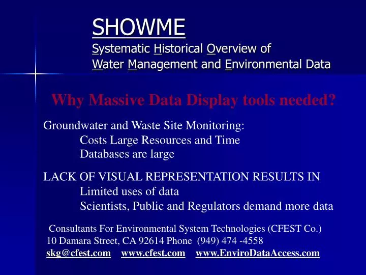
SHOWME Systematic Historical Overview of Water Management and Environmental Data Why Massive Data Display tools needed? Groundwater and Waste Site Monitoring: Costs Large Resources and Time Databases are large LACK OF VISUAL REPRESENTATION RESULTS IN Limited uses of data Scientists, Public and Regulators demand more data Consultants For Environmental System Technologies (CFEST Co.) 10 Damara Street, CA 92614 Phone (949) 474 -4558skg@cfest.comwww.cfest.comwww.EnviroDataAccess.com
SHOWME Systematic Historical Overview of Water Management and Environmental Data SHOWME tools generate concise informative plots of: Monitoring station Hydrographs Geologic data Soil boring data Each plot includes: Location map Rainfall Hydrograph Geologic dataWell construction Chemical Plots include: Regulatory Limits and Laboratory Qualifier Flag
DOE Hanford, Richland, WA EPA Stringfellow, CA DOD Air Force Base Dayton, OH DOE Fernald, Cincinnati, OH EPA Aerojet CA DOD El Toro Base , CA DOE Savannah, Aiken, SC EPA San Gabriel Basin, CA DOE Oak Ridge Lab EPA OII Land Fill, CA SHOWME Systematic Historical Overview of Water Management and Environmental Data Waste Site Databases Processed by our Tools
Historical Monitoring Station Data display with location map, precipitation data, hydrograph, geology, well construction, regulatory limits, and other relevant information. (Reduced copy of 11”x17” plot)
K25 Site- DOE Oak Ridge TN National Laboratory (reduced copy of 11 x 17 inch plot)
Hydrograph Plots- include rainfall, location map, well details, and field notes
Concise comprehensive soil boring data display This is a reduced copy of 11x17” plot. Actual data and location map is displayed on left page and chemical plot on right page. Only at limited locations concentration exceeds regulatory limits.
Display of Soil Boring data of Del Amo (Superfund site) California Chemical above action level are shown in solid bars. Location map Chemical name and Units Field measurements
Well Log Plots include location map, tabular data, well construction details Well log data is important component of the environmental database. Due to high cost of drilling, adequacy of geologic data is a key issue for each waste site. For groundwater modeling, and interpretation of monitoring data, geologic conceptual model has to be developed. Our format includes visual and tabular data. For this site 300 plots are generated in less than 15 minutes of computer time.
SHOWME Systematic Historical Overview of Water Management and Environmental Data • Interface of SHOWME tools with waste site and groundwater basin database: • Generates instantly concise comprehensive displays of all the groundwater level, water quality, geology, and soil boring data. • Eliminates need for data down load and plotting by individual staff • Assists in interaction with regulators, stakeholders, and public • Reduces collection of trivial or duplicate data • SHOWME displays have assisted regulators and site managers to evaluate severity of chemical distributions, design monitoring plans, and perform corrective action.