Download
1 / 16
160 likes | 296 Views
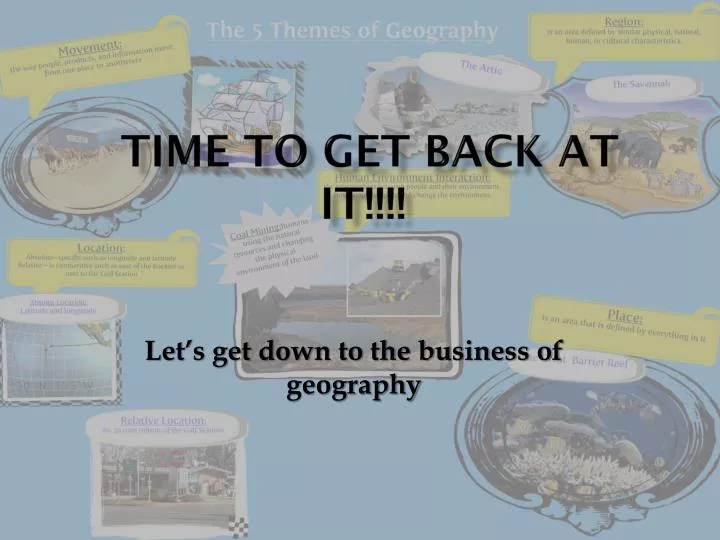
Time to get back at it!!!!. Let’s get down to the business of geography. Do Now. If you were to design a qualitative map of J.P. McCaskey, what type of information would you include on the map? Explain your reasoning. Information. Chapter 1, Section 3 DRA/ Vocab - Due today

E N D
Time to get back at it!!!! Let’s get down to the business of geography
Do Now If you were to design a qualitative map of J.P. McCaskey, what type of information would you include on the map? Explain your reasoning.
Information • Chapter 1, Section 3 DRA/Vocab - Due today • Latitude and Longitude exercises - will be in gradebook this weekend - answers will posted on wikispace • Use the Wikispace: ss200.wikispaces.com
Current Events • Syria allegedly moving chemical weapons - country to declare their weapons, but… • Hurricane Manuel - hits Mexico - mudslides and people missing
Do Now If you were to design a qualitative map of J.P. McCaskey, what type of information would you include on the map? Explain your reasoning.
Map Scale in 5 minutes • Small Scale Maps - large area, little detail - relative location, regional comparisons - ex: 1” = 50 miles • Large Scale Maps - small area, very detailed - relative location within a region - ex: 1” = 1 mile
Scale Measurements • Best way to measure - ruler, compass, azimuth • Easy classroom method - notebook paper
Map Activity • Go to: ss200.wikispaces.coms • open handouts and materials folder • open the powerpoint “Map Activity” - complete the map questions
Bonus Question • Using the internet, find the latitude and longitude of Montego Bay, Jamaica
Exit – 3-2-1 • Identify 3 “tools” geographers use to study new regions? • List two themes of geography and the questions associated with those themes. • How would you use the themes of geography to study regions unfamiliar to you? Explain your answer.