Download
1 / 17
170 likes | 252 Views
The Start of the Alaska Canada Highway is Dawson Creek, British Columbia. Follow the slideshow through the 1522 miles of the Alaska Canada Highway. See commemorative mile markers and photos along the way.

E N D
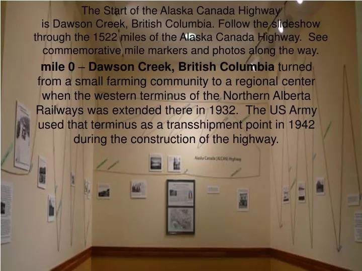
The Start of the Alaska Canada Highway is Dawson Creek, British Columbia. Follow the slideshow through the 1522 miles of the Alaska Canada Highway. See commemorative mile markers and photos along the way. mile 0 – Dawson Creek, British Columbia turned from a small farming community to a regional center when the western terminus of the Northern Alberta Railways was extended there in 1932. The US Army used that terminus as a transshipment point in 1942 during the construction of the highway.
Bridge West of Nelson at mile 332. mile 300 -Fort Nelsonlies east of the Northern Rocky Mountains in the Peace River region.
Historic Mile 392 - Summit Lakeat 4,250 feet above sea level, this is the highest summit on the highway.
mile 635 -Watson Lakeis located in Southeastern Yukon; the first community north of the 60th parallel as you enter the Yukon.
mile 804 -Teslinincludes the village of Teslin and an adjacent reserve (Teslin Post 13) in the Yukon, Canada, elevation 2300ft. The Hudson's Bay Company established a small trading post at Teslin in 1903.
head of the Yukon River, an important supply and stage centre during the Klondike Gold Rush. It has been the territorial capital since 1953. mile 916 – Whitehorseaccounts for more than 75% of the territory’s population and is at the
mile 968 - Champagneis a small community between Whitehorse and Haines Junction in Canada's Yukon. The few residents are citizens of the Champagne and Aishihik First Nations. The Alaska highway no longer routes through the community, having been rerouted in the fall of 2002, but the old roadway is still open to provide access
mile 1055- Kluane Lakeis 46 miles long, the largest lake in the Yukon. It is famed for its beauty and fishing. Huge waves are not uncommon on this lake, so if you are using a boat be careful and pay attention to the weather.
mile 1061 – Soldiers SummitFormal opening of Alaska Highway was staged here, November 20, 1942.
mile 1093 – Burwash Lodge is nestled beside Kluane Lake "Burwash" as it is called by locals.
mile 1392.5 -Black Veterans Recognition Bridge over the Gerstle River.
mile 1422 -Delta Junctionis a city in Southeast Fairbanks Census Area, Alaska, USA which sits on the Delta River.
More than 10,000 U.S. troops worked in cooperation with Canadian troops and independent contractors to accomplish this remarkable engineering feat in just over eight months! Among those soldiers building the Alcan Highway were four units of the Army's Black Corps of Engineers. All troops worked under extreme conditions. Mosquitoes and flies swarmed them in the summer heat, and temperatures near 40 degrees below zero chilled them to the bone in winter for weeks on end. To build the Sikanni Chief River Bridge, men waded chest deep into freezing waters to place the trestles. To keep themselves going, some of the men sang. Some African American soldiers, mainly from the South, sang old work chants like this "Steel-Driving Song." In addition to military personnel, about 2,000 civilians worked to construct the Alcan Highway. One advertisement stated, "THIS IS NO PICNIC! Working and living conditions on this job are as difficult as those encountered on any construction job ever done in the United States or foreign territory. . . ." But workers signed on anyway. Known by the men who built it as "The Road," the Alcan Highway is still Alaska's main link to the "lower 48" states. It is considered quite a challenge to drive, but a magnificent journey. http://www.americaslibrary.gov/cgi-bin/page.cgi/jb/wwii/alaska_3 *Photos from Alaska’s Digital Archiveshttp://vilda.alaska.edu/index.php
End of slideshow Please use the back button only. If you click further, you will be leaving the ALCAN slideshow.