Download
1 / 16
160 likes | 267 Views
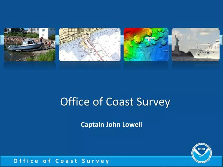
Office of Coast Survey. Captain John Lowell. National Priorities Observations, mapping and infrastructure Coordinate and support Changing conditions in the Arctic. Kotzebue Chart 16161 Customer Requirements.

E N D
Office of Coast Survey Captain John Lowell
National Priorities Observations, mapping and infrastructure Coordinate and support Changing conditions in the Arctic
Kotzebue Chart 16161 Customer Requirements • AK Navigation Manager meets with constituents, gathers requirements, and proposes a series of new charts for Alaska • Kotzebue is part of the plan
2011 - 2012 Office of Coast Survey formalizes a plan to improve charting in Alaska and the Arctic http://nauticalcharts.noaa.gov
16005Best available coverage for Kotzebue prior to the release of chart 16161 1:700,000
Kotzebue Chart 16161 Customer Request • Industry and government in Kotzebue request larger scale charting data for 2012 season • Coast Survey management visits Kotzebue in July 2011 and promises a new chart before ice break-up in mid-June 2012
Tides collected summer 2011 CO-OPS 16005 1:700,000
Shoreline collected October 2011 – February 2012 National Geodetic Survey 16005 1:700,000
Shoreline applied 16161 1:50,000
Products for navigation in time for June ice breakup • Print on Demand – available first week in May • Raster nautical chart – available first week in May • Lithographic chart – end May, beginning June • Electronic navigational chart (ENC) – early June • Coast Pilot update – next new edition will be printed in early August
Products supported by new charting data • ENC Direct to GIS • Digital Coast – Coastal Resource Management • Benthic • Hydrographic • Marine boundaries • EnvironmentalResponse Management Application (ERMA)