1 / 7

Convective Boundary Layer Development over NPOL and D3R 6/12/2013 ~ 1700 UTC

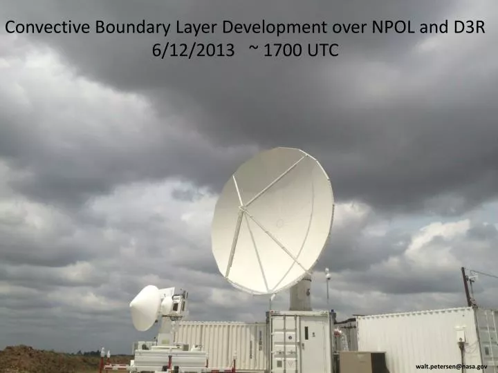
Convective Boundary Layer Development over NPOL and D3R 6/12/2013 ~ 1700 UTC. w alt.petersen@nasa.gov. IFloodS: June 12, 2013 Severe Storm Outbreak. Lined-up multiple supercells, some tornadic. IFloodS: June 12, 2013 Severe Storm Outbreak. Hook echo 40 km north of NPOL: 22:25 UTC.

alina
Download Presentation

Convective Boundary Layer Development over NPOL and D3R 6/12/2013 ~ 1700 UTC

An Image/Link below is provided (as is) to download presentation Download Policy: Content on the Website is provided to you AS IS for your information and personal use and may not be sold / licensed / shared on other websites without getting consent from its author. Content is provided to you AS IS for your information and personal use only. Download presentation by click this link. While downloading, if for some reason you are not able to download a presentation, the publisher may have deleted the file from their server. During download, if you can't get a presentation, the file might be deleted by the publisher.

E N D

Presentation Transcript


  1. Convective Boundary Layer Development over NPOL and D3R 6/12/2013 ~ 1700 UTC walt.petersen@nasa.gov

  2. IFloodS: June 12, 2013 Severe Storm Outbreak Lined-up multiple supercells, some tornadic

  3. IFloodS: June 12, 2013 Severe Storm Outbreak Hook echo 40 km north of NPOL: 22:25 UTC XPOL in a prime location

  4. View from KDMX located 120 km southwest of NPOL

  5. Tornadoes, Hail and Wind

  6. Turkey Basin Network IFIS Daily 6/12/2013

More Related