Download
1 / 15
150 likes | 216 Views
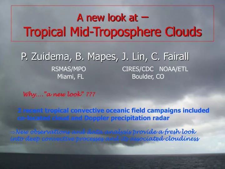
A new look at – Tropical Mid-Troposphere Clouds. P. Zuidema, B. Mapes, J. Lin, C. Fairall. RSMAS/MPO Miami, FL. CIRES/CDC NOAA/ETL Boulder, CO. Why….”a new look” ???. 2 recent tropical convective oceanic field campaigns included

E N D
A new look at – Tropical Mid-Troposphere Clouds P. Zuidema, B. Mapes, J. Lin, C. Fairall RSMAS/MPO Miami, FL CIRES/CDC NOAA/ETL Boulder, CO Why….”a new look” ??? 2 recent tropical convective oceanic field campaigns included co-located cloud and Doppler precipitation radar • New observations and data analysis provide a fresh look into deep convective processes and its associated cloudiness
TOGA COARE: 3rd cloud population w/ cloud top heights between 5-9 km. Linked to: - melting-level stable layers - dry air intrusions from extratropics Johnson et al, 1999: Trimodal characteristics of convection Cloud vertical structure inferred indirectly (precip radar & sondes)
40N equator Eastern Pacific Investigation of Climate (EPIC) Sept. 2001, 10N&95W (Raymond et al., 2004, BAMS) Joint Air-Sea Monsoon Interaction Experiment (JASMINE) May 1999 (monsoon onset), Bay of Bengal (Webster et al., 2002, BAMS) Upper wind Low-level wind
JASMINE-convective (10 days) EPIC (21 day) 14 10 Height (km) 6 2 0 Melting-level outflow • Cloud radar: • attenuates with water vapor, liquid and precip • point measurement but continuous • ~ 20 dBZ max
Time series of coincident sonde RH at 95W, 10N Hurricane Juliette RHB leaves 10N, arrives 5N
Most mid-tropospheric dry layers related to the southerly phase of the easterly waves EPIC meridional wind Episodic southerly mid-tropospheric advection of dry air apparent in mean NCEP 1990-2000 Sept. mean RH & V along 110 W RH < 30%, 4-8km Strong southerly Or Weak northerly component zonal meridional
large-scale (~50 km range) divergence calculated from precipitation radar shown in blue (solid line=divergence, dotted line=convergence) • 8-14 km anvil cloud resides above dry layer (suggests sublimation) • Sublimation supported by • precipitation radar divergence • profile ! • Surface-based convection mitigated • by both 3-5 km and 6-7 km dryness Surface Rainfall rates Sept. 21: pronounced 6-7 km dry air layer, south-south-westerly winds with easterly winds above
- Large-scale process (divergences over a 100 km^2 area) apparently • has a microphysical origin (melting of ice). • convincingly documented thanks to combined analysis of the two radars • horizontal divergence will act to simultaneously spread and thin • The (top of the) dry layer, which is now cooler and moister Frequency of Layers with Lapse rates > -5, -4, -3 K/km Two independent estimates of latent cooling “Q” from sublimation ! Cloud radar IWC flux: (IWC)/z * fall speed*latent heat = Q 2. Horizontal wind divergence = ∂(vertical velocity)/∂p ~ ∂Q/∂p*1/static stability
14 10 Height (km) 6 2 0 Relative humidity time series On to…. JASMINE… convective nonconvective
~15 m/s Mean diurnal cycle of 210K Meteosat-5 Infrared Imagery Dave Lawrence Zuidema, 2003
JASMINE squall(wave?) prevailing wind Zuidema, 2003
SUMMARY & CONCLUSIONS: Remarkable consistency between surface rainfall rates, vertically-pointing cloud radar, and large-scale calculated precipitation radar divergences; (full time series posted through http://www.rsmas.miami.edu/users/pzuidema) New mechanism noted by which dry air intrusions influence tropical cloud vertical structure: anvils snowing into dry layers, moistening and cooling Dry air intrusions can be an integral dynamical component (not just a random external forcing) Implications and ?? for TWP-ICE: EPIC and JASMINE took place “far” from land - TWP-ICE likely to capture even more complexity. What role do dry air intrusions play, if any ? If in evidence, how can models reproduce their influence on convection and mean climatology ? Might divergence structures other than convective/stratiform also be seen ? What cloud overlap constructions best describe the various regions ? Background JASMINE cloud images courtesy of U. of Washington JASMINE webpage