Download
1 / 18
180 likes | 401 Views
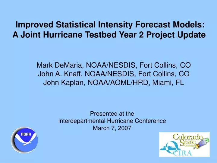
Improved Statistical Intensity Forecast Models: A Joint Hurricane Testbed Year 2 Project Update . Mark DeMaria, NOAA/NESDIS, Fort Collins, CO John A. Knaff, NOAA/NESDIS, Fort Collins, CO John Kaplan, NOAA/AOML/HRD, Miami, FL. Presented at the Interdepartmental Hurricane Conference

E N D
Improved Statistical Intensity Forecast Models: A Joint Hurricane Testbed Year 2 Project Update Mark DeMaria, NOAA/NESDIS, Fort Collins, CO John A. Knaff, NOAA/NESDIS, Fort Collins, CO John Kaplan, NOAA/AOML/HRD, Miami, FL Presented at the Interdepartmental Hurricane Conference March 7, 2007
Outline • Progress on JHT Project Goals • New decay model in SHIPS • Modified vertical shear calculation * New problem in 2006 model • Discriminant analysis version of the Rapid Intensity Index • SHIPS and RII for the 2007 Season
2006 Operational Version of SHIPS • Statistical-dynamical TC intensity prediction model • 16 basic predictors • atmospheric from GFS forecast fields • oceanic from Reynold’s weekly SST • climatology and persistence from ATCF input • Correction for ocean heat content (Atlantic only) and GOES predictors • previous JHT project • Adjusted SST from Joe Cione cooling algorithm • previous JHT project, Atlantic only • Empirical decay equation over land
2006 Rapid Intensity Index • Uses subset of SHIPS input most correlated with rapid intensity change • Estimates probability of 25 kt increase in next 24 hours • Original version used 30 kt threshold • Atlantic and east Pacific versions • Results included on SHIPS text output
Goal 1. Modified Inland WindDecay Algorithm • Kaplan and DeMaria (1994) inland decay developed for continental U.S. landfalls • Too much decay for storms over islands and peninsulas • Modified version where decay rate depends on fraction of storm circulation over land • Reduces decay rate over islands and narrow land masses
Atlantic SHIPS Improvements with New Decay Model (2001-2006) Note: No significant impact on East Pacific SHIPS Goal 1 completed and has been in SHIPS since 2005
Goal 2: Improved Shear Calculation • SHIPS uses NHC official track for center of shear calculation • GFS vortex track can differ from NHC track • Shear calculation uses large annulus to compensate (200-800 km)
Example of NHC and GFS Track Mismatch96 h Forecast for Frances from 27 Aug 2004 12 UTC 850 hPa 200 hPa O O G G G = GFS positionO = NHC Position
New Shear Algorithm • Track location of GFS vortex at 850 hPa • Tracker finds location that maximizes 0 to 600 km symmetric tangential wind • Checks for reasonable translational speeds • Requires minimum cyclonic wind • Symmetric circulation subtracted • Starts from outer radius where symmetric circulation is cyclonic • Subtraction radius decreases with height • Shear calculation at NHC track position after vortex removed • 0-500 km radius rather than 200-800 km annulus
Example of Vortex Removal Total Wind Symmetric Flow Residual 850 hPa 200 hPa
A New Predictor and Bad Old One • New: Time tendency of GFS mean 850 hPa tangential circulation • 0 to 600 km average • Old: 850 hPa environmental vorticity • 0 to 1000 km average • Measures environment for small storms • Measures storm circulation for large storm • Inconsistent predictor with higher resolution GFS
SHIPS With New Shear • Replace 200-800 km shear with 0-500 km shear (after vortex removal) • Replace 850 hPa environmental vorticity with GFS vortex time tendency • All 2006 cases re-run with operational input • Logistic Growth Equation Model (LGEM) also tested with new shear • Uses time stepping procedure instead of time averaging of predictors
Forecast Impact 2006 Atlantic Re-runs Forecast Errors Percent Improvement over Operational D-SHIPS
Forecast Impact 2006 East Pacific Re-runs Forecast Errors Percent Improvement over Operational D-SHIPS
Goal 3: Improve theRapid Intensity Index • Operational version uses 6 scaled input parameters to estimate the probability of rapid intensification in the next 24 hours • Improved version • Use discriminant analysis to determine optimal weights for combining predictors • Run in real time during 2006 season • Also tested on larger sample in dependent mode • RII Probabilities evaluated using Brier Skill Score
2006 RII skill Atlantic N=175 Nri=11 Probri = 6.3% (climo=12%) E. Pacific N=284 Nri=45 probri= 15.8% (climo=11%)
RII Skill for the 2003-2005 developmental sample Atlantic N=846 Nri=115 Probri=13.6% (climo=12%) E. Pacific N=521 Nri=59 Probri=11.3% (climo=11%)
Proposed Form of 2007 SHIPS and RII • SHIPS • Include new decay model • Replace old shear with new one • Replace 850 hPa environmental vorticity with 850 hPa GFS vortex circulation predictor • Run LGEM version with new SHIPS predictors • Additional changes • Fix Central Pacific domain problem • Additional GOES data quality control • RII • Re-develop discriminant analysis weights with 2006 case • Run equal weights and DA version in 2007