Download
1 / 14
150 likes | 287 Views
Vegetation Classification & Mapping Program, 2012. Rationale . Vegetation maps are one of the12-baseline inventories Classification - To inventory and describe the plant communities within network parks Mapping – To accurately document plant community locations in a GIS layer.

E N D
Rationale • Vegetation maps are one of the12-baseline inventories • Classification - To inventory and describe the plant communities within network parks • Mapping – To accurately document plant community locations in a GIS layer
Veg. Classification & Mapping Major Phases • Project Planning • Classification • Mapping • Map Accuracy Assessment • Final Reports and Deliverables
Project Status - JOTR • Phase = Final Reports and Deliverables • Compile the final report – May 2012 • Compile all project deliverables
Project Status - PARA • Phase = Mapping • Begun July 2011 • Scheduled for completion June 2012
Project Status - MANZ • Phase – Final Deliverables • Contractor – Cogan to complete final draft of project report and products scheduled for completion by summer 2012 • Submit completed products to NVIP 2012
Project Status - GRBA • Phase – Map Accuracy Assessment • Draft Map received May 2011 • Map validation trip in June 2011 • Final map submitted July 2011 • Map accuracy assessment begun August 2011
GRBA – Accuracy Assessment • No. of map classes: 52 • Target number of AA points: 900 (89% of total) • Logan Simpson Design Inc. = Total number 872 AA points
LAKE - Mapping • BOR – David Salas, Denver • Karl Brown and Tammy Cook – ATRs until new Coordinator comes on board. • 2012 – 2013 • Colorado Natural Heritage Program –Conduct the AA (2014)
Classification products • Classification report • Field data collection methods • Data analysis methods • Final vegetation classification • Appendices • Vegetation classification placed in the revised US NVC • Field key to vegetation associations • Field key to map classes (sometimes) • Vegetation descriptions • PLOTS database • Photo database
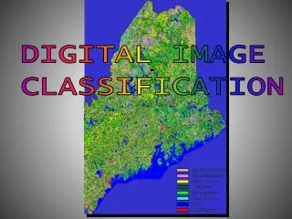
Mapping products • Digital vegetation map • A vector map, fully attributed in ArcGIS shapefile format • Geodatabase • Linking geospatial data with plot data and plot photos • Base aerial photography • Photo-interpretive key and map class descriptions • Mapping method report