Download
1 / 17
210 likes | 516 Views
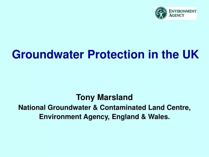
Groundwater Protection in the UK. Tony Marsland National Groundwater & Contaminated Land Centre, Environment Agency, England & Wales. Groundwater in the UK - some background information. Around 34% of the total drinking water requirements of the UK is supplied from groundwater, but:

E N D
Groundwater Protection in the UK Tony Marsland National Groundwater & Contaminated Land Centre, Environment Agency, England & Wales.
Groundwater in the UK- some background information • Around 34% of the total drinking water requirements of the UK is supplied from groundwater, but: • this proportion varies greatly across the country because of the complex/variable geology and climatic differences; • To the S & E of England there is very high reliance on groundwater; this area coincides with some of the greatest land use pressures (people, industry and agriculture) and the lowest recharge (e.g. Kent has less water availability/person than Oman).
APPROACH TO GROUNDWATER PROTECTION Four strands : • Prevention • use of powers (discretionary); • risk-based approach • Permits (consents, authorisations etc) • duty to authorise • Remediation • Monitoring
Point Source Pollution • All deliberate discharges or disposals are authorised under the Groundwater Regulations or the Waste Management Licensing Regulations; • Agencies have powers to take action to control activities where these present a risk to groundwater but there is no deliberate discharge or disposal; • All groundwater is protected but use of discretionary powers is prioritised using Source Protection Zone and Vulnerability maps - risk based approach; • Agencies also have powers to serve Works Notices to prevent pollution of controlled waters and remediate groundwater pollution.
Diffuse Pollution • Concerns arose in the 1980s about how increasing nitrate concentrations in groundwater (derived from agricultural practices) were affecting drinking water. • This led to the trialling of catchment wide protection measures for diffuse pollution control. • Firstly voluntary Nitrate Sensitive Areas (NSAs), and then regulatory based Nitrate Vulnerable Zones (NVZs) for groundwater defined, on a source catchment basis. • Use Vulnerability and Source Protection Zone maps to influence others to prevent other sources of pollution.
POLICY & PRACTICE FOR THE PROTECTION OF GROUNDWATER • PPPG first published in 1992, revised 1998; • resource protection through groundwater vulnerability maps; • source protection through the definition of Source Protection Zones (SPZs). • Maps and zones are supported by policy statements; • 8 year programme to produce associated essential tools; • 53 groundwater vulnerability maps (paper & CD ROM); • ~2000groundwater protection zones modelled around main public supply and other sensitive use boreholes;
Vulnerability Illustrated Thin Soil (No Drift) Thick Clay Soil Unsaturated Zone Drift High Water Table Deep Water Table Fractured Limestone Sand and Gravel High Low
Geological Classes Soil Classes High (H) 1, 2, 3, U Major Aquifer Low High (H) 1, 2, 3, U Minor Aquifer Low Drift Non-Aquifer VULNERABILITY MAPS
Source Protection Zones -Classification ZONE EXTENT CONTAMINANT TYPE Zone I 50 day travel time Biological 400 day travel time Zone II Slowly degraded Zone III Total Catchment Non-degradable Zone of Special Interest Zones where local conditions require additional protection also
Source Protection Zones Source Protection Zones around a borehole I - Inner Zone II - Outer Zone III - Total Catchment Catchment Boundary III II I Direction of groundwater flow
USE OF MAPS • Vulnerability maps indicate inherent sensitivity of all groundwater; • SPZ maps show risks to major potable abstractions; • Help prioritise action on existing threats to groundwater; • Relate policy statements/approaches to specific land areas. • They are initial risk screening tools (planning, permits); • Indicative maps - do not provide site specific risk assessment (scale, precision); • For contaminant specific and point source risks a detailed site-specific assessment is needed.
Planning Applications & Informal Approaches GPP & SPZ Maps Strategic (Planning) level Groundwater Vulnerability Maps, SPZ Maps and Local Knowledge Non-expert (Authorisation) level Site Specific Risk Assessment Expert level Example of use
ASSESSMENT TOOLS DETAILED QUANTITATIVE RA RISK SCREENING GENERIC RA Groundwater Directive assessment techniques Level 1 screening tool Level 2 (soil) screening tool PERMITS LANDSIM SPZ & Vulnerability maps Soil & Groundwater numerical models Analytical tools CONSIM HISTORIC CONTAMINATION Natural Attenuation Guidance Remedial Targets Methodology (tiered risk assessment)