Download
1 / 17
170 likes | 298 Views
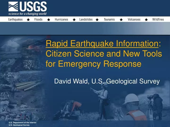
U.S. Department of the Interior U.S. Geological Survey. Rapid Earthquake Information : Citizen Science and New Tools for Emergency Response. David Wald, U.S. Geological Survey. Recent and Potential Earthquake Losses. Recent Impact:.

E N D
U.S. Department of the Interior U.S. Geological Survey Rapid Earthquake Information: Citizen Science and New Tools for Emergency Response David Wald, U.S. Geological Survey
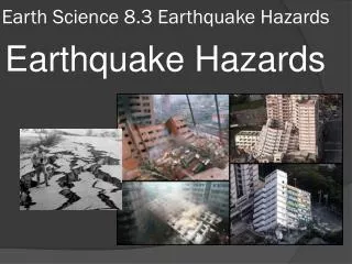
Recent and Potential Earthquake Losses Recent Impact: • 1994 moderate-sized magnitude 6.7 Northridge, Calif., killed 57, injured 9,000, and displaced over 20,000 people. Cost: $40B Potential Impacts: • A repeat of historic earthquakes, such as the magnitude 7.7 1906 San Francisco, CA or the 1811-1812 New Madrid, MO earthquakes, could cause up to 1/4 trillion dollars • Losses for a major earthquake in Los Angeles could cost up to $1/4 trillion and cause 3,000–18,000 fatalities. • Losses for even a moderate-sized magnitude 6 earthquake in New York City could be on the order of $100 billion. • Annual earthquake losses in the U.S. will average about $5.6 billion/year.
U.S. Department of the Interior U.S. Geological Survey ShakeMap Rapid, Automatic Maps of Shaking Distribution and Intensity
Sample ShakeCast/ShakeMap Critical Users • California Department of Transportation (Caltrans) Responsible for 25,000 overpasses & bridges • Inspection, Engineering, & Traffic Management • Pacific Gas & Electric (PG&E) • Electric Substations • Gas pipelines statewide • California Dept of Water Resources, Div. of Safety of Dams • Over 1,200 dams statewide. • Los Angeles County Dept of Public Works • Roads, bridges, airports, water supply, flood control, etc.
ShakeMap is available in these areas as part of the USGS Advanced National Seismic System
U.S. Department of the Interior U.S. Geological Survey Citizen Science “Did You Feel It?”
(5 Years of DYFI? Data) Magnitude 4.5 Dec 9,2003 Over 1/2 Million Individual Responses Nationally!
Did You Feel It? (5 Years) National Hazard Map (50 years)
Rapid situational awareness is critical for averting disaster. • Community understanding of hazards and risk helps for support of mitigation efforts. http://earthquake.usgs.gov
U.S. Department of the Interior U.S. Geological Survey http://earthquake.usgs.gov