Download
1 / 7
70 likes | 196 Views
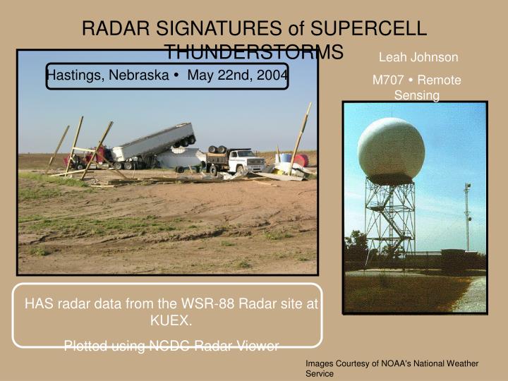
RADAR SIGNATURES of SUPERCELL THUNDERSTORMS. Leah Johnson M707 Remote Sensing. Hastings, Nebraska May 22nd, 2004. HAS radar data from the WSR-88 Radar site at KUEX. Plotted using NCDC Radar Viewer. Images Courtesy of NOAA's National Weather Service. NOZ : Base Reflectivitiy.

E N D
RADAR SIGNATURES of SUPERCELL THUNDERSTORMS Leah Johnson M707 Remote Sensing Hastings, Nebraska May 22nd, 2004 HAS radar data from the WSR-88 Radar site at KUEX. Plotted using NCDC Radar Viewer Images Courtesy of NOAA's National Weather Service
NOS: Storm Relative Velocity = Areas of Possible Mesocyclones Note: Mesocyclones are radar signatures of rotating thunderstorms