Download
1 / 26
290 likes | 503 Views
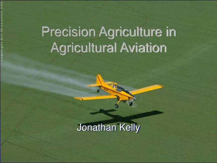
Precision Agriculture in Agricultural Aviation. Jonathan Kelly. Agricultural Aviation. Started in 1921 in Ohio in a Curtiss JN-6 by Lt. John Macready spraying lead arsenate dust over catalpa trees to kill moth larvae Sprayed mostly dry chemicals in the early days, hence the name “cropdusters”

E N D
Precision Agriculture in Agricultural Aviation Jonathan Kelly
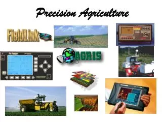
Agricultural Aviation • Started in 1921 in Ohio in a Curtiss JN-6 by Lt. John Macready spraying lead arsenate dust over catalpa trees to kill moth larvae • Sprayed mostly dry chemicals in the early days, hence the name “cropdusters” • Used mostly war surplus aircraft (Stearmans), but today use specialized aircraft, such as Air Tractor or Thrush • Today ag aircraft are used for chemical application, fertilization, firefighting, and remote sensing
Agricultural Aviation • Regulated by State and Federal Departments of Agriculture, as well as FAR part 137 • Have come a long way in the past 10-20 years in developing better aircraft and systems to improve efficiency of aerial application • Major advances include GPS, flow rate controllers, variable rate technology, and use of remote sensing
GPS Swath Guidance Systems • GPS was a big step towards precision in aerial application • Hemisphere Air (SatLoc) most used GPS by pilots
Flow Rate Controllers • Adjusts flow rate for groundspeed (constant-rate applications) • Adjusts flow rate for application rate required by management zone (variable-rate applications) • Houma Avionics, Inc., AutoCal II • Controls output from spray pump
Variable Rate Technology in Ag Aircraft • Uses a combination of GPS, Flow rate controllers and a hydraulically-operated pump • Kawak Aviation Technologies Hydraulic spray system • Changes rates in milliseconds
Challenges in Variable Rate Application using Ag Aircraft • Spray Drift • Turbulence of airflow around the airplane • Height above canopy • Aircraft speed (120-150mph)– demands an extremely fast-responding system • Nozzles – need nozzles that keep the correct droplet size through changing boom pressures • Keeping costs down and maintaining feasibility for operators
Prescription Maps • Based on Satellite or Airplane imagery • Companies such as In-Time® produce variable rate prescriptions with amounts of chemical needed per rate change • Uses GIS programs to outline field boundaries • GIS shapefiles can be loaded directly into Satloc GPS
Prescription Maps Prescription Map As-Applied Map
Prescription Maps Prescription Map As-Applied Map
Jones Air Rotating Boom Assembly • Designed in Australia • Boom consists of flat fan nozzles that rotate through 110 degrees • Changes droplet size by changing nozzle position relative to the airflow • Used to control spray drift
Direct Injection Variable Rate Application • Also designed in Australia • Consists of 2 hoppers and creates a dual flow system • Directly injects variable rates of 2 different chemicals for variable rate application • Ex.- chemical can be a constant rate while the other is applied at a variable rate
Remote Sensing with Ag Aircraft • Research being conducted in Stoneville, MS using ag aircraft as a carrier for remote sensing technology • Ag aircraft much easier to schedule than higher-flying airplanes, and avoids a lot of atmospheric interference • However, large images cannot be taken, so images must be stitched together
Remote Sensing Taken from 46 m (177 ft.) above canopy using digital video over cotton
Websites • Jones Air Rotating Boom Assembly • www.airtractor.com • www.thrushaircraft.com • www.kawakaviation.com • www.gointime.com • www.satloc.com • www.combined.net.au • www.iflyag.com • Cool video on aerial application in Australia
References • Barber, Lindsay. 2007. Precision Ag: The Future of Aerial Application. Agricultural Aviation. 34 (2). • Phone Interview with Dr. Steven Thomson, Research Agricultural Engineer, USDA-ARS, Application and Production Technology Research Unit, Stoneville, MS. On April 11, 2008. • Smith, L. A., and S. J. Thomson. 2005. Performance of an Aerial Variable-Rate Application System with a Hydraulically Powered Chemical Pump and Spray Valve. NAAA/ASAE Paper #: AA05-009, Washington, D. C.: NAAA. • Core, J. 2005. Agricultural aircraft offer a different view of remote sensing. Agricultural Research. 53 (3): 20-21. • Thomson, S. J., and V. J. Alarcon. 2001. Geo-referenced digital imaging and ultrasonic altitude sensing for agricultural aircraft – pilot controls, instrumentation, and system evaluations. ASAE paper #: 01-3098. • Thomson, S. J., and D. G. Sullivan. 2006. Crop status monitoring using multispectral and thermal imaging systems for accessible aerial platforms. ASABE paper # 061179.