Download
1 / 28
280 likes | 408 Views
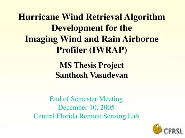
Hurricane Wind Retrieval Algorithm Development for the Imaging Wind and Rain Airborne Profiler (IWRAP) MS Thesis Project Santhosh Vasudevan. End of Semester Meeting December 10, 2005 Central Florida Remote Sensing Lab. Thesis Objective.

E N D
Hurricane Wind Retrieval Algorithm Developmentfor theImaging Wind and Rain Airborne Profiler (IWRAP)MS Thesis ProjectSanthosh Vasudevan End of Semester Meeting December 10, 2005 Central Florida Remote Sensing Lab
Thesis Objective • Develop a hurricane wind vector retrieval algorithm for the UMass dual frequency (C-SCAT and Ku-SCAT) Imaging Wind and Rain Airborne Profiler (IWRAP) • Provide a real time simulation of hurricane wind vector retrieval
IWRAP Overview 2 286 meters
Ocean Surface Sigma-0 Measurements • Collected during 360 deg conical scan • Data are averaged into 32 az sectors (11.25° bins) • Grouped into wind vector cells (WVC) • WVC’s are chosen to be 1 km x 1 km • Swath comprises 4 WVC’s ( 2 on either side of sub-track)
Scan Geometry and Sigma-0 Collocation 4000 m 3836 m Wind vector cells, 1Km by 1 Km 2640 m
Example–WVC 4c • WVC 4C is populated by 6 az-bins at outer(40deg) and 8 az bins at inner(30deg) beam. • Total of 14 az bins available for both beams WVC 4c
Effect of A/C Attitude Variations on Sigma-0 Grouping • Typical aircraft attitude variations are ± 2 deg in roll & pitch • Attitude changes cause the scan geometry to change which can effect the collocation (grouping) of sigma-0’s for wind retrieval • Effects are presented next
-2 Deg Roll,-2 Deg Pitch Actual scan contour Contour changed by attitude change
Result of Attitude Variability Study • Changes in scan geometry, with typical A/C attitude changes, is negligible for WVC sig-0 collocation • No attitude correction required for the wind vector retrieval algorithm
GMF - High Speed Adjustment • C & Ku band high wind speed GMF’s are developed from experimental airborne scatterometer data obtained over 10 years of HRD flights through hurricanes (UMASS) • GMF exhibits a slow roll-off in the power law wind exponent and causes the sig-0 to saturate with wind speed (Usat )
Wind Retrieval • Method of Maximum Likelihood Estimator (MLE) was adopted to retrieve wind speed and direction from measured sigma-0’s
Wind Vector Retrieval - 1st Results • Wind retrieval was tested using a compass simulation • Constant wind speed & direction • Gaussian noise corrupted sig-0’s • Monte Carlo simulation 100 trials • For case of 25m/s @ 65° constant wind-field ,the following results were obtained
Hurricane Simulation • A simulated hurricane wind field based on hurricane Floyd used • Resolution set to 100m by interpolation • Noise added to the wind field
IWRAP scan simulation IWRAP Scan pattern • Using IWRAP Radar geometry ,flight altitude and speed- scan pattern generated • The scan pattern flown over simulated wind field to generate hurricane sigma-0 measurements
Simulated IWRAP Wind retrieval • Data generated in stream to simulate real scenario • The streaming sig-0 measurements at 100m resolution from the simulated flight is co-located into 1 Km WVC • Co-located sigma-0’s grouped and averaged: magnitude and direction retrieved for 1 Km WVC using the wind retrieval algorithm
Preliminary Results: Retrieved wind magnitude from several flights m/s
Preliminary Results: Retrieved wind magnitude from several flights deg
Future Work • Perform multiple retrievals . • Compare retrieved parameters with true values to validate measurements • Add a rain flag to measurement