Download
1 / 24
240 likes | 406 Views
GIS Support For Water Resource Management in the Tecate, California and Tecate, Baja California Section of the United States – Mexico Border. Overall Project Goal. To Assist Stakeholders in Managing Scarce Water Resources in the Ambos Tecates section of the border region

E N D
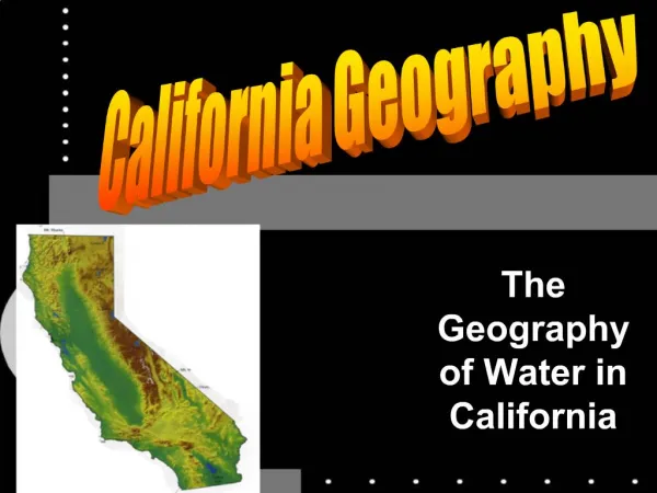
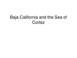
GIS Support For Water Resource Management in the Tecate, California and Tecate, Baja California Section of the United States – Mexico Border
Overall Project Goal • To Assist Stakeholders in Managing Scarce Water Resources in the Ambos Tecates section of the border region • Goal will be accomplished through the development of a water-focused GIS database and web-based tools
Ambos Tecates Project Area Population: Tecate, MX – 78,000 in 2000Tecate, US – >200 (2,000 in larger area) Border Crossings: 2.7 Million in 200257 Million in S.D. – B.C.(only 5% of S.D. – B.C total)
Ambos Tecates • An inadequate GIS infrastructure for supporting government decision-making is a characteristic shared by most urban pairs along the United States – Mexico border
Relation to Recent Existing Projects/Programs • Tijuana River Watershed Binational Vision • Tres Californias • Integrated U.S.-Mexico Geographic Information System for Transboundary Watershed Management • Identification and Mapping of Potential Ground Water Contamination Sources in Urban Tecate, Mexico
Tijuana River Watershed Bi-national Vision • Purpose To develop a bi-national vision for the Tijuana River Watershed and devise strategies and options for achieving the vision based on stakeholder participation • Origins • Tijuana River Watershed GIS, 1994-2000 • San Diego-Tijuana International Border Planning Atlas, 2000 • Tijuana River Watershed Atlas, 2005
Integrated U.S.– Mexico Geographic Information System for Trans-boundary Watershed Management • Purpose To develop and implement a strategy for a bi-national water resources GIS in the U.S.-Mexico border region • Project is led by Chris Brown, Jean Parcher, and Fabian Lozano • The Ambos Tecates project is one of the pilot projects of this program
Tres Californias • Purpose To increase university and stakeholder cooperation, technology transfer, and the enhancement of local and regional planning • Anticipated Results Collection of new data, increased access to existing data, improved ability to create maps, and better tools to analyze spatial and tabular data • Geographic Focus Two southernmost counties of California, Baja California, and Baja California Sur • Targeted Users State and municipal government planners and decision makers • University Partners • San Diego State University • The Autonomous University of Baja California, Ensenada • The Autonomous University of Baja California Sur
Identification and Mapping of Potential Ground Water Contamination Sources in Urban Tecate, Mexico • Purposes • To create a GIS data storage and analysis tool for water resources in Tecate, Baja California, Mexico • Inventory Possible groundwater contamination sources • Provide GIS training to employees of the State Commission in Tecate and the Tecate Municipal Planning Department
Flood Risk Evaluation Model HI = Sli + Sti(0.5) + Gi and VI = Lui FRI = HI + VI FRI = Flood Risk Index Hi = Hazzard index Sli = Slope index Sti = Stream index Gi = Geomorphology index Vi = Vulnerability index Lui = Land use index
Future Work • Improve the web site: • IMS design and symbology • Data download and metadata • Continue to develop additional applications • Refine the methods and application of technology transfer which can them be applied to Baja California and Baja California Sur.