Download
1 / 7

E N D
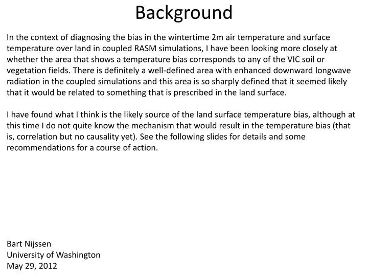
Background In the context of diagnosing the bias in the wintertime 2m air temperature and surface temperature over land in coupled RASM simulations, I have been looking more closely at whether the area that shows a temperature bias corresponds to any of the VIC soil or vegetation fields. There is definitely a well-defined area with enhanced downward longwave radiation in the coupled simulations and this area is so sharply defined that it seemed likely that it would be related to something that is prescribed in the land surface. I have found what I think is the likely source of the land surface temperature bias, although at this time I do not quite know the mechanism that would result in the temperature bias (that is, correlation but no causality yet). See the following slides for details and some recommendations for a course of action. Bart Nijssen University of Washington May 29, 2012
r28RB1g - WRF DJF Tsfc From John Cassano’s presentation at the May 2012 RASM meeting: Wintertime difference between the surface temperature from RASM and standalone WRF. Note that standalone WRF is coupled with the Noah land surface model
r28RB1g - WRF DJF T2m From John Cassano’s presentation at the May 2012 RASM meeting: Wintertime difference between the 2m air temperature from RASM and standalone WRF. Note that standalone WRF is coupled with the Noah land surface model
Downward longwave from WRF During the winter months a persistent background feature develops that appears unrelated to clouds (you can see clouds sweep across, but this does not affect the background feature). This feature is characterized by lighter colors and largely coincides with the areas where we have the strongest temperature bias. This feature does not show in incoming shortwave and therefore appears unrelated to the clouds themselves. The feature disappears in spring when snow melts and reappears in fall when snow reappears. The feature disappears from south to north in spring and appears to follow snowmelt, although I need to check this further to make sure. (click on image to run movie) The movie shows one year (01/01/1995 – 12/31/1995) of daily average downward longwave that VIC receives from WRF r28RB1g
Vegetation overstory Downward longwave on Jan 2, 1995 (r28RB1g) The background field appears to coincide with grid cells in VIC that are covered with trees. The figure to the right shows the total fraction of each grid cell that is covered by vegetation types that have an overstory (i.e. trees). Cells with both trees and snow appear to have a high incoming longwave and an associated temperature bias.
Temperature bias • For some reason, the background feature that corresponds most strongly with the temperature bias is most apparent in the incoming longwave. However, at this time I think that VIC is the likely source since WRF is not aware of the land surface characteristics other than what it is provided by VIC (it would be good to make sure that WRF does not have an additional set of land surface characteristics that it uses internally and that differ from what is used in VIC). • I will go back to the VIC code and look at what is special about the case where there is both snow and an overstory. The most likely problem at this time is that something may be wrong with the surface stress that VIC provides to WRF, since that is the variable that: • Is not passed to another model in uncoupled runs and therefore least tested • I am aware has some problems, which were on the list to be fixed anyway (Michael Brunke pointed out some time ago that some lines were commented out that maybe should not have been) • Would be significantly different from the surrounding area in the case of an overstory with snow. • It would be useful to know what surface characteristics find their way back into the downward longwave radiation calculation in WRF, especially in the absence of clouds. • At this time I have no clear idea yet about the mechanism that would lead to a temperature bias over areas that have both snow cover and a vegetation overstory and I will continue my diagnostics.
Recommendations and action items • Land surface team (UW): • Re-examine the VIC code base to understand what is done differently when there is an overstory with snow • Ensure that the aerodynamic resistance is correctly calculated and averaged • Run a 1-year experiment in which the trees are removed. We can do this uncoupled first, but it may be worthwhile to do this in coupled mode as well • Atmospheric team (CU/Iowa): • Ensure that the downward longwave field is passed correctly between VIC and WRF • Check whether WRF uses any surface characteristics that are not specified by VIC or are different from what is used in VIC • Determine how the surface characteristics are used in the WRF downward longwave calculation