Download
1 / 13
130 likes | 240 Views
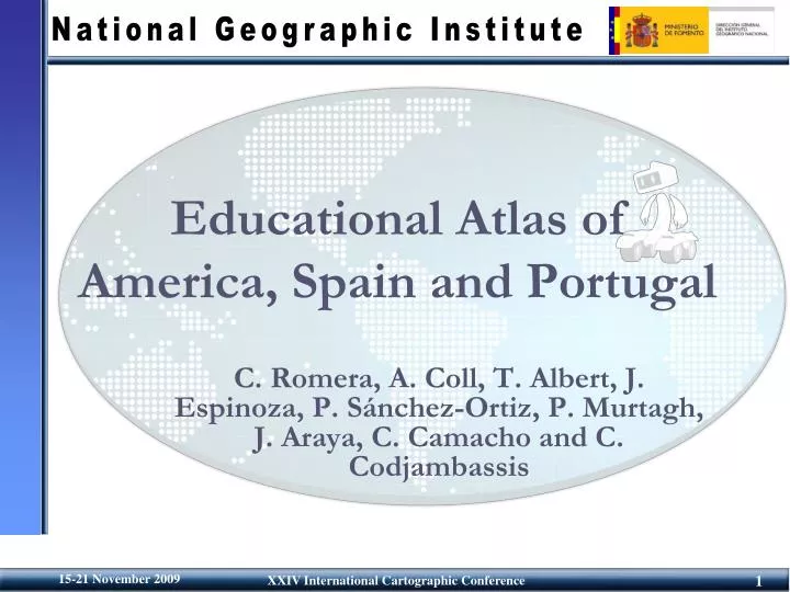
Educational Atlas of America, Spain and Portugal. C. Romera, A. Coll, T. Albert, J. Espinoza, P. Sánchez-Ortiz, P. Murtagh, J. Araya, C. Camacho and C. Codjambassis. Summary. Background Definition Methodology Design Production Future developments Conclusions. Background.

E N D
Educational Atlas of America, Spain and Portugal C. Romera, A. Coll, T. Albert, J. Espinoza, P. Sánchez-Ortiz, P. Murtagh, J. Araya, C. Camacho and C. Codjambassis
Summary • Background • Definition • Methodology • Design • Production • Future developments • Conclusions
Background • This project has been undertaken by the Cartography Commission of the Pan- American Institute of Geography and History and the National Geographic Institute of Spain (IGN) • This project has a strategic significance since it is trying to gather standard basic geographical and historical information on American and some European countries to disseminate it on a large scale.
Definition • The atlas is intended for pupils aged from 10 to 14. • Its objective is to popularize the knowledge of the sciences of the Earth as a complement to their academic formation.
Methodology DESIGN PRODUCTION Interactivity and Animation Documents (text, animations, images, audio, etc.) Data collection Layout Type Graphic design and Interface design General Composition Design Establishment of criteria User needs Application development Analyst and programmers Experts in Geography, Cartography and pedagogy MULTIMEDIA EDUCATIONAL ATLAS
Methodology: Design Structure
Methodology: Design Texts Locutions Interactive Maps Animations Images Ilustrations • Contents
Methodology: Production • Flash technology • It can be used in different execution environments: online / offline, on CD / DVD or through a LMS (Learning Management System) platform. • It includes accessibility features to facilitate the use of this atlas by students with disabilities. • Taking into account the most widespread standards in the educational community: Scorm, LOM, etc.
Methodology: Production • Contents • Games PDA
Future developments • Implementation of the Atlas on Web • Improvement in accessibility to fulfill the standard: AAA (W3C): • With the attendance of the Accessibility Group for Educational contents of the Spanish National Association for Blind people.
Conclusions • The Educational Atlas of America, Spain and Portugal is an excellent work from a scientific and educational point of view. • The content is not fixed, or in other words, “the work never ends”. We are still working, processing new data and trying to improve it. • It will constitute an activity that can be used not only in Spain, but in all the Spanish speaking countries which extends the use of this application to all Latin America