Download
1 / 2
130 likes | 440 Views
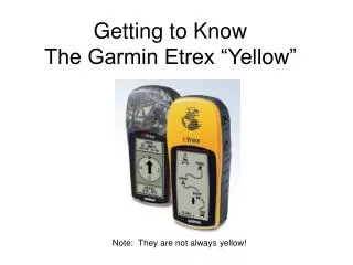
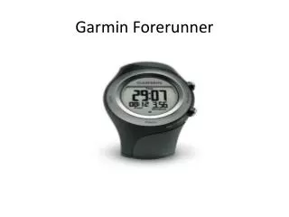
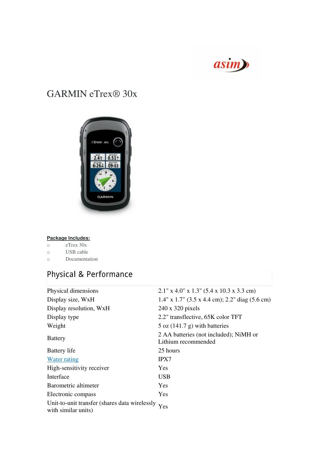
eTrex 30x adds a built-in 3-axis tilt-compensated electronic compass, which shows your heading even when you’re standing still, without holding it level. Also added is a barometric altimeter which tracks changes in pressure to pinpoint your precise altitude, and you even can use it to plot barometric pressure over time, which can help you keep an eye on changing weather conditions.<br>For More Information visit : http://www.asimcommunication.com/garmin-etrex-30x/

E N D
GARMIN eTrex® 30x Package Includes: o eTrex 30x o USB cable o Documentation Physical & Performance Physical dimensions Display size, WxH Display resolution, WxH Display type Weight 2.1" x 4.0" x 1.3" (5.4 x 10.3 x 3.3 cm) 1.4" x 1.7" (3.5 x 4.4 cm); 2.2" diag (5.6 cm) 240 x 320 pixels 2.2" transflective, 65K color TFT 5 oz (141.7 g) with batteries 2 AA batteries (not included); NiMH or Lithium recommended 25 hours IPX7 Yes USB Yes Yes Battery Battery life Water rating High-sensitivity receiver Interface Barometric altimeter Electronic compass Unit-to-unit transfer (shares data wirelessly with similar units) Yes
Maps & Memory Basemap Ability to add maps Built-in memory Accepts data cards Custom POIs (ability to add additional points of interest) Yes Waypoints/favorites/locations Routes Track log Outdoor Features Yes Yes 3.7GB microSD™ card (not included) 2000 200 10,000 points, 200 saved tracks Automatic routing (turn by turn routing on roads) Geocaching-friendly Custom maps compatible Sun and moon information Tide tables Area calculation Picture viewer Garmin Connect™ Yes (with optional mapping for detailed roads) Yes (Paperless) Yes Yes Yes (with optional Bluechart) Yes Yes Garmin Connect™ compatible (online community where you analyze, categorize and share data) Yes Address: 306, Agarwal Arcade, Plot No. 6, Sector 12, Aashirwad Chowk, Dwarka, New Delhi-110075 Ph:011-28034223/24