Download
1 / 21
210 likes | 481 Views
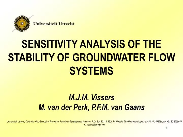
SENSITIVITY ANALYSIS OF THE STABILITY OF GROUNDWATER FLOW SYSTEMS. M.J.M. Vissers M. van der Perk, P.F.M. van Gaans.

E N D
SENSITIVITY ANALYSIS OF THE STABILITY OF GROUNDWATER FLOW SYSTEMS M.J.M. Vissers M. van der Perk, P.F.M. van Gaans Universiteit Utrecht, Centre for Geo-Ecological Research, Faculty of Geographical Sciences, P.O. Box 80115, 3508 TC Utrecht, The Netherlands, phone: +31 30 2532988, fax +31 30 2535050, m.vissers@geog.uu.nl
Groundwater flow is important for spatial planning and groundwater quality assessment. Configuration of pathways of point and diffuse source pollution: • Temporal • Spatial
Hydrological systems analysis! Toth (1962): A flow system is defined as a set of flow lines in which any two flow lines adjacent at one point of the flow region remain adjacent throughout the whole region How to operationalize this definition? How to quantify stability?
Automatic? Uncertainty? Manual delineation of groundwater flow systems by interpretation of particle tracks(Engelen and Kloosterman, 1996)
METHODS • Groundwater model • Define groundwater flow systems • Monte Carlo analysis of stability
Ice-pushed ridge in the east, “flat” in the west Mainly Agricultural land use, eastern part cultivated in the 1920’s Study area Drinking water well Observation well Height lines on moraine Stream / Ditch Overijssels Canal Wetlands City / Industry Heathland Forest Grass
Study area • Drenthe clay in the west forms base at –30m NAP • Sandy unconsolidated aquifer
Groundwater model • MODFLOW • 18 x 12 km • 50 x 50 m cells • 6 layers • Drainage network • Calibration
When a discharge area is “continuous”, the flow lines towards it will remain adjacent throughout the region Identified by a 3-cell buffer around discharge cells Define groundwater flow systems
Size of recharge area may be too small take minimum of 50 cells Groundwater divide can be present “within” a groundwater flow system Define groundwater flow systems
Groundwater flow systems and transit distance 490 488 (km) 486 e t a n i d r o 484 o c - Y 482 480 478 210 212 214 216 218 220 222 224 226 (km) X-coordinate
Transit time 490 488 486 e t a n i d r o 484 o c - Y 482 480 478 210 212 214 216 218 220 222 224 226 X-coordinate
Transit time 490 488 486 e t a n i d r o 484 o c - Y 482 480 478 210 212 214 216 218 220 222 224 226 X-coordinate
Groundwater flow systems can be identified • Configuration of pathways: • In space: groundwater flow system & characterization • In time: travel distance and age at specified depths • Uncertainty….
Sensitivity analysis • Recharge • KH/KV • Drainage resistance • Drainage level • Recharge & Drainage level (Monte Carlo)
490 488 486 e t a n i d r o 484 o c - Y 482 480 478 210 212 214 216 218 220 222 224 226 X-coordinate Drainage resistanceParametric analysis
RechargeParametric analysis 490 488 486 e t a n i d r o 484 o c - Y 482 480 478 210 212 214 216 218 220 222 224 226 X-coordinate
Monte Carlo Analysis (recharge & drainage level) 490 488 486 e t a n i d r o 484 o c - Y 482 480 478 210 212 214 216 218 220 222 224 226 X-coordinate
Conclusions • Hydrological systems analysis can be applied to groundwater model results • Uncertainty in flow is not only caused by parameter errors, heterogeneity etc. • Climatic variations and human factors are very important in natural flow systems • Uncertainty can be mapped, flow systems are quite stable • The combination of maps can be used for many purposes m.vissers@geog.uu.nl