Download
1 / 31
310 likes | 456 Views
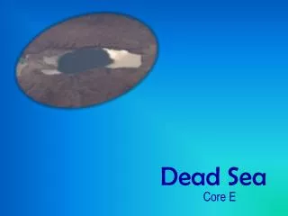
Land degradation processes characterized by airborne laser scanning – the Dead Sea as a case study. Sagi Filin 1 , Smadar Morik 1 , Amit Baruch 1 , Yoav Avni 2 , Shmuel Marco 3 1 Mapping and Geo-Information Engineering, Technion – Israel Institute of Technology

E N D
Land degradation processes characterized by airborne laser scanning – the Dead Sea as a case study Sagi Filin1, Smadar Morik1, Amit Baruch1, Yoav Avni2, Shmuel Marco3 1Mapping and Geo-Information Engineering, Technion – Israel Institute of Technology 2 Geological Survey of Israel 3Dept. of Planetary Science, Tel Aviv University
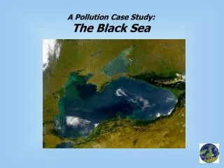
Introduction • Destabilization of geomorphic systems • Climate • Anthropogenic changes • Landscape reshaping • Environmental change • Damages existing infrastructure • Difficult quantification • Span and complexity of these phenomenon Dead Sea as an example
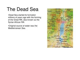
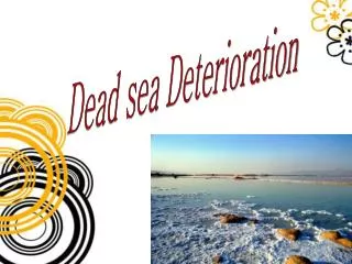
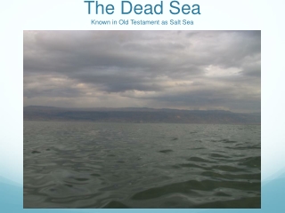
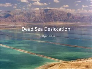
The Dead Sea • Terminal lake • Drains extensiveregions in the surrounding countries
The Dead Sea • Terminal lake • Drains extensiveregions in the surrounding countries • Lowest point on earth -424 m • High salinity level • Unique tourist attraction
The Dead Sea • Past 40 years lake level have been dropping - 30 m from its high stand • Increased rate in the last decade – > 1 m/y • Alternation of the region environment
Receding Dead Sea Lake • Coastal plain widening
Channel incision Rapid incisiondue to exposure of steep slopes
Channel incision • Rapid incision – 20 yrs
Detection and Monitoring • Difficulty in tracing at their early stages • Identifying subtle features
Detection and Monitoring • Land surveying • Large span • Difficulty to trace • Aerial images • Scale and resolution • Misinterpretation • Largely planimetric
Airborne laser scanning • Detailed depiction • Wide coverage • 3D morphometricinformation • Density 4 p/m2 • Accuracy ±10 cm
Phenomena Expression • Point cloud expression
Gradient based methods • Channel extraction via gradient driven analysis
Gradient based methods • Channel extraction via gradient driven analysis • Ambiguous transition • Texture • Other “gradient responding features”
Curvature based analysis • Surface depression as defined by curvature • Curvature – computation via the Hessian form
Curvature based analysis • Curvature – computation via the Hessian form • Numerical computation
Channel detection via curvature • Characterization via principal curvature • 1 > 0 and 2 = 0 • Detection at multiple scales • Varying window size • Direct integration into the numerical computation form
Channel detection via curvature • Characterization via principal curvature • 1 > 0 and 2 = 0. • Detection as hypothesis tests • Affecting parameters • noise • surface texture
Channel detection via curvature • Ranging errors • Propagation into the eigenvalues analysis • Hypothesis tests surface roughness
Curvature based analysis Eigenvalues analysis Laser data Channel detection
Linkage via dynamic programming – maximum energy seeking 10 -401 Eigenvalues Elevation 10 12 -399 -400 8 -402
Conclusions • Relevance of detailed 3D morphology to landscape reshaping studies • Computational models for the analysis • Feasibility of subtle features detection using airborne platform • Detailed characterization