Download
1 / 20
200 likes | 360 Views
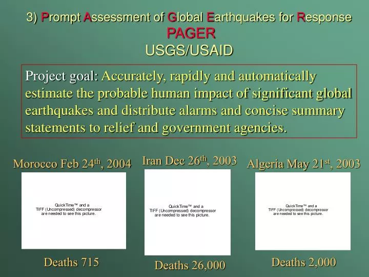
3) P rompt A ssessment of G lobal E arthquakes for R esponse PAGER USGS/USAID. Project goal: Accurately, rapidly and automatically estimate the probable human impact of significant global earthquakes and distribute alarms and concise summary statements to relief and government agencies.

E N D
3) Prompt Assessment of Global Earthquakes for ResponsePAGERUSGS/USAID Project goal: Accurately, rapidly and automatically estimate the probable human impact of significant global earthquakes and distribute alarms and concise summary statements to relief and government agencies. Iran Dec 26th, 2003 Morocco Feb 24th, 2004 Algeria May 21st, 2003 Deaths 715 Deaths 2,000 Deaths 26,000
PAGER OUTPUT 1) Concise color-coded impact alerts suitable for cell-phones, pagers, and e-mail. 2) Supplementary information including affected cities, maps of shaking and population available via the Internet.
What PAGER can do • Give first heads up alert • Provide an overall estimate of earthquake impact. • Alert response teams to a damaging earthquake. • Guide the effective use of ground truth damage assessment tools. • Aid hazard mitigation efforts through scenario planning What PAGER cannot do • Provide a neighborhood by neighborhood damage assessments.
December 26th, 2004 M9 Population exposure
Estimated Population Exposed to ShakingDecember, 2004 & March, 2005 Sumatran Earthquakes Dec 26th Mar 28th Intensity 1,300,000 600,000 VIII 1,700,000 1,800,000 VII 1,200,000 5,000,000 VI
95% of the way there but the last 5% is killer….. • Location: an error of 20 to 30 km can make a big difference. • Depth: an error of 20 to 30 km can make a big difference. • Magnitude: there is a difference between a 8.5 and a 9.0+ • Attenuation corrections, site corrections. • No near in stations. • Defining the fault plane. • Infrastructure vulnerability.
Global Intensity Reports
Vulnerability“Earthquakes don’t kill people buildings do” • Construction Type & Performance • EERI Housing Catalog • Regionalized (Country-based) Performance • GDP • Human Development Index (HDI) • Empirically-based • Ground shaking vs. losses/casualties for past earthquakes • Test set for validation • Time of Day, etc.
Estimated Ground Shaking • Global ShakeMap • Point source • Line source • Heterogeneous slip
Estimated Ground Shaking • Global ShakeMap • Point source • Line source • Heterogeneous slip
Estimated Ground Shaking • Global ShakeMap • Point source • Line source • Heterogeneous slip
Beyond the basics: • Shaking levels at population centers • Landslides • Aid hazard mitigation efforts through scenario planning • Other? Proximity to airports, road maps, etc…
PAGER OUTPUT (supporting Web content) Estimated critical acceleration to trigger landslides Courtesy of Jon Godt
How should we deliver the data? • Text message / e-mail • Static web images • User pull, similar to ShakeCast • Web Services, ArcIMS NHSS HDDS SOLDGR