Download
1 / 18
180 likes | 317 Views
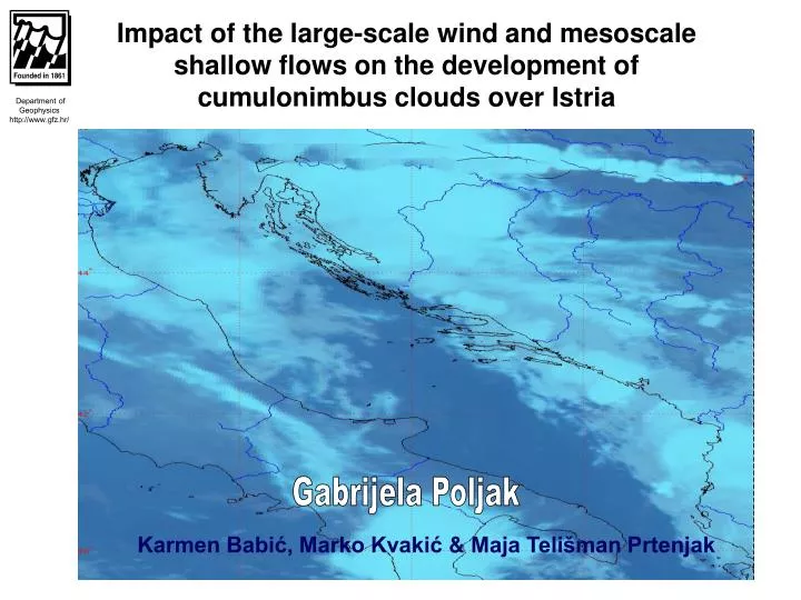
Department of Geophysics http://www.gfz.hr/. Impact of the large-scale wind and mesoscale shallow flows on the development of cumulonimbus clouds over Istria. Gabrijela Poljak. Karmen Babić, Marko Kvakić & Maja Telišman Prtenjak. Department of Geophysics http://www.gfz.hr/. CONTENTS:

E N D
Department of Geophysics http://www.gfz.hr/ Impact of the large-scale wind and mesoscale shallow flows on the development of cumulonimbus cloudsoverIstria Gabrijela Poljak Karmen Babić, Marko Kvakić & Maja Telišman Prtenjak
Department of Geophysics http://www.gfz.hr/ • CONTENTS: • Introduction, aim & motivation • WRF model • Numerical simulations • Summary and conclusions
Introduction • The role of the SB circulation, including SB front in triggering convection has long been recognized • Convection initiation often takes place when 2 or more features (fronts and /or rolls, thunderstorm outflows) collide or merge. • Locations of the very extensive Cb and SB research, e.g: • Florida (e.g. Pielke, 1974; Yuter and Houze, 1995; ) • Australia & Indonesian archipelago (MCTEX; e.g. Saito et al., 2001) • Japan, Kanto plain (e.g. Sano and Tsuboki, 2006) • Spain (e.g. Azorín-Molina et al., 2009) • …… Department of Geophysics http://www.gfz.hr/ Holland and McBride (1989)
Istria: an area with the highest frequency of thunder in Croatia Climatology of convection in Croatia Alps Department of Geophysics http://www.gfz.hr/ Croatia Italy The mean annual number of days with thunderstorms (1948-1966); Penzar et al. (2001) Lightning data from LINET network the analysis of some spatial and temporal characteristics of lightning in 4-years warm period (2006-2009) Arbitrary choice Convective day = a day with more than 10 strokes of the total discharge data (CG+IC) detected per hour across limited area 402 convective days Mikuš et al. (2012)
Above northeastern Adriatic weather types Department of Geophysics http://www.gfz.hr/ • the most common summerweather types duringconvective days: • non-gradient (NG) pressureconditions & low pressurepattern (C, T) • the peak in daytime convective activity duringNG weather type in July • in 82% of overall dayswith convective activity3 dominant large-scale wind regimes SW, NE, NW Mikuš et al. (2012) wind regimes
SB climatology over Istria (1997–2006) ∆T → prime peak in August, → secondary max in June due to dominance of daytime convection SLB frequency → max in August up to 65%of all summer days (June-September) Pazin Department of Geophysics http://www.gfz.hr/ In average during summer At least every second day with SB hodograph Pula-airport • CW rotation of wind vectors • mean SB speed about 3.5 m/s • mean LB speed about 2 m/s • low steadiness of SB between 10-13 CET
Department of Geophysics http://www.gfz.hr/ QUESTION: QUESTION: Sea breeze + large-scale wind Sea breeze + large-scale wind Convective activity????? Convective activity????? Cb development???? Cb development????
Setup of the model: • two-way nesting • Lambert conformal projection • 3 domains : • x = 13.5 km, 4.5 km, 1.5 km • 81 vertical levels (terrain- following) • Initial and boundary data from ECMWF • Schemes: • MYJ scheme for the PBL; • RRTM for the longwave radiation; • Dudhia scheme for the shortwave radiation; • Lin microphysics scheme; • Eta surface layer scheme; • five-layer thermal diffusion scheme for thesoil temperature; • Betts-Miller-Janjic cumulusparameterization two outer domain WRF-ARW model Department of Geophysics http://www.gfz.hr/
Three selected cases simulated by WRF In the finest model domain Department of Geophysics http://www.gfz.hr/ Similarities • the Cb cloud over Istria • weather type: almost non-gradient pressure conditions • SB at the Pula-airport site (tip of the Istria peninsula). The main dissimilarity • wind regimes For Case Asensitivity test: without microphysics
CASE A = large scale wind NE MAX ECHO (DBZ) at 13 CET • 11 CET – formation of convergence zone ( 15 km inland, 75 km long ) • - 12 CET – cloudiness and precipitatation 5 mm – 15 mm over Istria • Convective activity • 13 CET – formation of Cb (Pazin) • - 14 – 16 CET – disipation of Cb (moved to south) along convergence zone Department of Geophysics http://www.gfz.hr/ LINET (CG+IC) data between 14-15 CET
WRF 10-m surface wind at 14 CET Department of Geophysics http://www.gfz.hr/ 20 km statistical indices at 14 CET Measured surface wind field
CASE A = large scale wind NE 17 CET Department of Geophysics http://www.gfz.hr/ Results • large-scale NE wind enhanced the SB at the southeastern Istrian coast • prevented deeper penetration of the dominant western SB over the peninsula • convergence zone is not moved to east too much • indication for the superposition between SB front and outflow below Cb along convegence zone • Sb weaker after the storm; • Cb act destrucive on the air-sea temp. diff. 17 CET Comparison between control A run and sensitivity test
CASE B = large scale wind SW Measured surface wind field WRF 10-m surface wind at 14 CET Department of Geophysics http://www.gfz.hr/ 30 km 11 CET – formation of convergence zone ( 30 km inland, 75 km long ) 11 – 12 CET – cloudiness and precipitation 10 mm – 15 mm Convective activity
13 CET – formation of Cb ( north part of Istria ) 14 – 16 CET – disipation of Cb MAX ECHO (DBZ) at 13:50 CET • deeper penetration of SB inland • convergence zone is moved to east Department of Geophysics http://www.gfz.hr/ CG lightning data at 13:50 CET
CASE C = large scale wind NW Measured surface wind field WRF 10-m surface wind at 14 CET Department of Geophysics http://www.gfz.hr/ 30 km • 10 CET – formation of convergence zone • (30 km, 50 km long – highly curved in space) • - 11 CET – penetration of SB deeper over land (in the central part of peninsula ) • 12 – cloudiness and precipitation 5 – 25 mm • convective activity 30 km
CASE C = large scale wind NW MAX ECHO (DBZ) at 13:50 CET • 13 CET – Cb moved southward of Istria, Rijeka and Cres (cloudiness and 45 mm precipitation) • large-scale NW wind is superimposed on the western SB producing larger inland penetration and amplifying the magnitude of the SB speed • 14 – 17 CET – dissipation of Cb Department of Geophysics http://www.gfz.hr/ LINET (CG+IC) data between 14-15 CET
Summary • The large-scale winds (LSW) influence the SB development and evolution, therefore creating the zone of convergence • The interaction SB - LSW reinforces the convergence of the flow field in the boundary layer and consequently the intensity of SB fronts and its updrafts • Thecertain amount of cloudiness and precipitation has been developed in the zone of the convergence between 12CET and 13 CET • The ZC, cloudiness and percipitation depended on the type of the LSW