Download
1 / 42
420 likes | 560 Views
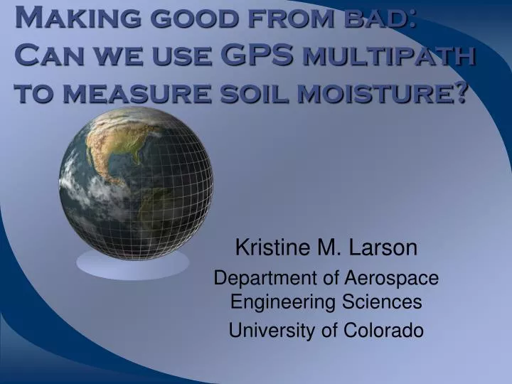
Making good from bad: Can we use GPS multipath to measure soil moisture?. Kristine M. Larson Department of Aerospace Engineering Sciences University of Colorado. Outline. GPS basics Multipath research at CU If we can’t model multipath, can we extract soil moisture estimates from it?

E N D
Making good from bad: Can we use GPS multipath to measure soil moisture? Kristine M. Larson Department of Aerospace Engineering Sciences University of Colorado
Outline • GPS basics • Multipath research at CU • If we can’t model multipath, can we extract soil moisture estimates from it? • Preliminary results
GPS Basics • Ranges ( from 4 or more satellites are measured. • The position of the GPS antenna and time of the GPS receiver’s clock are estimated.
Challenges • We don’t control the GPS satellites. • We can’t directly calibrate the satellites. • We don’t design the receivers we use. • Scientific market share for GPS is <<<< commercial market share.
Opportunities • New constellation in Europe (Galileo) • Expanded Russian constellation (Glonass) • Expansion of ground networks and orbiting GPS receivers.
How does multipath impact gps? • Multipath introduces a (frequency dependent) range error • Antenna gain pattern, RHCP/LHCP • for a simple horizontal reflector multi=2h*(sin Impacts phase, pseudorange and SNR
Salar de Uyuni, Boliva • Large salt flat • Sub-decimeter topography; used to calibrate ICESat • Experimental setup: • 3 Ashtech Z-12 receivers • 2 flush with ground • 1 tripod (~1.4m height) Bilich, 2006
FIT SNR data Primarily low elevation data
Multipath Assessment:Power Spectral Maps • Idea: frequency and power content of SNR multipath environment • Method: • Power spectra of small data sections • Assign to satellite azimuth/elevation • Plot all points on a grid
MKEA Power Maps 30-60s 10-30s 60-90s 90-130s Bilich, 2006
Conclusions I • Multipath frequencies are controlled by obstructions near the antenna. • The ground is the major source of multipath. • Far reflectors are also important, particularly for high-rate applications. • Low elevation data (< 30 degrees) are most corrupted by multipath. • If SNR data accurately map multipath geometries, can they be used to infer multipath reflectivity as well?
GPS as a soil moisture instrument • Ratio of reflected to direct GPS signal is proportional to reflectivity. • Reflectivity in turn is proportional to the dielectric constant of the surface. • L-band sensitive to ~ few cm depth. • Wet ground reflects GPS signals better than dry ground. Is it measurable?
Why measure Soil moisture? • Important measurement for climate system studies. • Needed for improving models and ground truth for remote sensing studies. • Current instrumentation is sparse (and data are costly to collect). SCAN
Past work on GPS reflections Reflections from specular locations Masters, 2004
Limitations • Specialized equipment • Antennas looking down!
160 210 260 day of year What does soil moisture look like?
GPS SNR data issues • Negatives • Quality questionable (digitation, L1-L2) • Not much of a published literature. • Positives • No cycle slips • No dependence on orbit quality • Independent for each satellite • Differences with previous reflection work • Use existing GPS instrumentation • No installation costs - but weaker signal.
Issues to resolve • Direct signal power • Temperature • Orbital (ground-track) • Vegetation • Comparisons with in situ sensors
Vegetation Katzberg, Torres et al. http://dragon.larc.nasa.gov/
Temperature Effects on Dielectric http://www.lsbu.ac.uk/water/microwave.html
Soil moisture model • Ethan Gutmann and Eric Small. • Model description: Chen and Dudhia [2001] • Modification of land surface hydrology model MM5 developed by PSU and NCAR. • Make assumptions as to soil type (sand). • We have no in situ radiation data.
Conclusions • GPS multipath clearly tracks rain events via multipath amplitude changes. • At this time, we cannot explain all the seasonal signal. • We need to work on temperature, power, and vegetation effects. • The “unsolved” GPS error source, multipath, may provide useful information about soil moisture.
Acknowledgements • A. Bilich, D. Agnew, P. Axelrad, • IGS, JPL, UNAVCO, NGS, CORS, SOPAC, CDDIS • NASA, CU faculty fellowship.