Download
1 / 9
90 likes | 190 Views
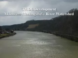
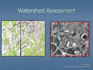
Watershed Assessment, Tracking, and Environmental Results (WATERS) Forum December 7, 2004. Andrew Battin, Director IESD/OIC/OEI U.S. Environmental Protection Agency. Data Enterprise License Agreements (ELAs). Working Capital Fund Service ’05 Geospatial Tools and Data.

E N D
Watershed Assessment, Tracking, and Environmental Results (WATERS) Forum December 7, 2004 Andrew Battin, Director IESD/OIC/OEI U.S. Environmental Protection Agency
DataEnterprise License Agreements (ELAs) • Working Capital Fund Service ’05 • Geospatial Tools and Data. • Environmental Systems Research Institute (ESRI) • TeleAtlas/Geographic Data Technology (GDT) • Dun and Bradstreet • Ordering/Help Desk Service through central support desk at RTP • For More information • http://intranet.epa.gov/rtpgis/esriepaela.html • Gregory Gwaltney, 202 566-1710 • Matt Leopard, Chief of Information Services and Support Branch, OEI on 202 566-1698
DataAdditional Activities • NLCD - $155K • NatureServe • Web service • Agency-level negotiated data acquisitions • Schools • Watershed Boundary Dataset (WBD) • Developing EPA Remote Sensing Requirements
DataOEI Locational Improvement Efforts • “glue” that ties data for multi-source analysis • Locational Improvement Strategy: • Goal 1: Improve Location in Facility Registry System data • Goal 2: Improve Location in Data Flows • Goal 3: Improve Tech Infrastructure • Goal 4: Develop Locational Policies • POCs: Kevin Kirby, 202.566.1656 Matt Leopard, 202.566.1698
Integrating OW efforts intothe Exchange Network • Exchange Network is the top priority for CIO, and resources will continue for this effort • OW/State partners have identified key data need for exchanging hydro data and features • Exchange Network allows real time sharing of all information resources (including geo) • Coordinate with states on potential for leveraging the exchange network for this purpose • Grant Program
Integrating OW efforts into theEnterprise Architecture: CDX • CDX hosts web forms and “node” services for reporting environmental data across various EPA programs • eNOI • UCMR • eBeaches • ESAR (STORET) under development • As part of locational improvement, Programs want to integrate address mapping and other Geo tools into the web-based flows • Continue to explore WebRIT and its role for enhancing feature location data to support CDX hosted applications
Integrating OW efforts intoTarget EA: Registries • EA “System of Registries (SOR)” consists of facility registry system, substances registry system, and others • EHPTA is defining how SOR addresses polygon, linear, and non-facility locations of interest • OW has addressed non-facility locations through the Reach Address Database (RAD) • Can the RAD be a component of the EA (~ water feature registry)? • Conduct assessment of RAD linkage to FRS
Questions? Andrew Battin battin.andrew@epa.gov 202.566.2140