Download
1 / 12
120 likes | 240 Views
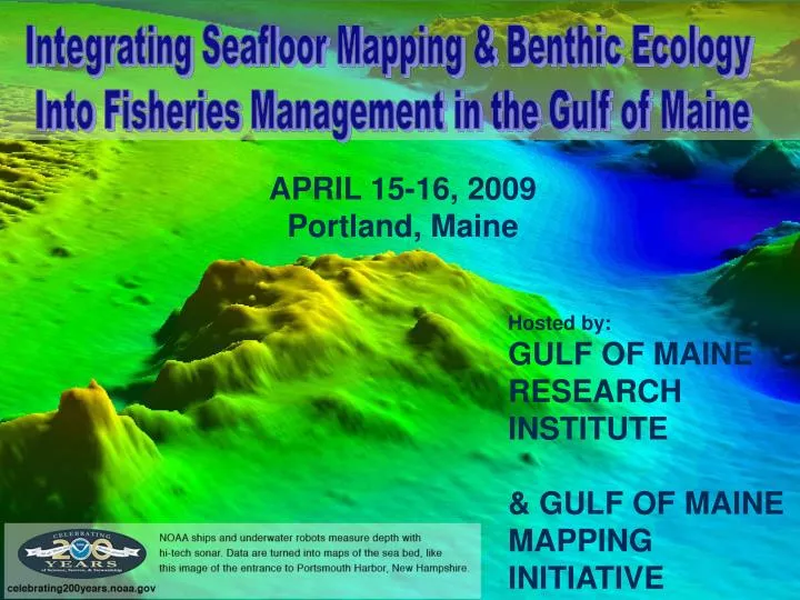
Integrating Seafloor Mapping & Benthic Ecology Into Fisheries Management in the Gulf of Maine. APRIL 15-16, 2009 Portland, Maine. Hosted by: GULF OF MAINE RESEARCH INSTITUTE & GULF OF MAINE MAPPING INITIATIVE. Thank You to Our Contributors. Maine Sea Grant MIT Sea Grant

E N D
Integrating Seafloor Mapping & Benthic Ecology Into Fisheries Management in the Gulf of Maine APRIL 15-16, 2009 Portland, Maine Hosted by: GULF OF MAINE RESEARCH INSTITUTE &GULF OF MAINE MAPPING INITIATIVE
Thank You to Our Contributors • Maine Sea Grant • MIT Sea Grant • New Hampshire Sea Grant • Woods Hole Sea Grant • NOAA National Marine Fisheries Service • Gulf of Maine Research Institute • Maine Coastal Program • Gulf of Maine Council on the Marine Environment
Workshop Planning Chairs: • Tracy Hart, GOMMI • Jonathan Grabowski, GMRI Steering Committee • Craig Brown, University of Ulster • Chad Demarest, NEFMC • Linda Mercer, Maine DMR • Rondi Robison, NOAA MPA Center • David Stevenson, NOAA NMFS Northeast Regional Office • Tom Weber, Center for Coastal and Ocean Mapping, UNH
The goal of GOMMI is to facilitate the production and availability of seafloor topographic, geologic and habitat maps that are essential for Gulf of Maine resource management, planning, and many commercial activities.” http://www.gulfofmaine.org/gommi Gulf of Maine Mapping Initiative
Important Info about GMRI • Bathrooms on each floor • Conference rooms • Food & beverages • Happy to give a tour of the facility • Don’t hesitate to ask if you have questions about GMRI or Portland
Workshop Background • Mapping juvenile cod habitat on Cashes Ledge
Background - Habitat PDT • Habitat vulnerability assessment • Habitat data is extremely poor, especially in the Gulf of Maine • Not currently taking advantage of high resolution maps • Need to bring these communities together
Workshop Structure (Today) • Fisheries management overview • Mapping basics panel • Case studies • Breakout groups • Posters and cocktails • Dinner (on your own)
Tomorrow • Synopsis of day 1 • More Case Studies • 2nd breakout group session • Summarize major findings over lunch • Concluding session • Adjourn by 3
WORKSHOP OBJECTIVES • Summarize status of seabed mapping & its use in GOM fisheries management • Define potential addt’l uses of seabed maps in fisheries management • Define priorities (and obstacles) for applying seafloor maps in GOM fisheries management • Enhance communication and collaboration
WORKSHOP OUTCOMES • Paper outlining the process and methods for integrating fish habitat use data and seafloor mapping products into fisheries management efforts in the Gulf of Maine
OUTCOMES (Continued) • A plan that prioritizes what additional seafloor substrate and habitat data, analysis and products are needed to enhance its use in fisheries management