Download
1 / 8
80 likes | 88 Views
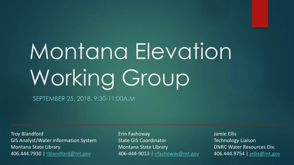
Montana Elevation Working Group. September 25, 2018, 9:30-11:00A.m. Troy Blandford GIS Analyst/Water Information System Montana State Library 406.444.7930 | tblandford@mt.gov. Erin Fashoway State GIS Coordinator Montana State Library 406-444-9013 | efashoway@mt.gov. Jamie Ellis

E N D
Montana Elevation Working Group September 25, 2018, 9:30-11:00A.m Troy Blandford GIS Analyst/Water Information System Montana State Library 406.444.7930 | tblandford@mt.gov Erin Fashoway State GIS Coordinator Montana State Library 406-444-9013 | efashoway@mt.gov Jamie Ellis Technology Liaison DNRC Water Resources Div. 406.444.9754 | jellis@mt.gov
Agenda • 9:30a.m - Role Call • Purpose of meeting • Background on recent LiDAR work and State LiDAR Plan • Montana LiDAR Inventory • NRCS repository and delivery system (pilot) • NSGIC pilot project to develop State Plan • 9:45 – 10: 45 a.m. - Work task to create Group Charter • Next steps, schedule
Purpose of Meeting To identify Montana stakeholders with an interest in LiDAR elevation data (advisors and users) To develop a working group Charter that documents a shared vision to work towards statewide LiDAR acquisition, storage, and distribution List of potential stakeholders Draft Charter
Montana LiDAR Inventory View: Completed LiDAR acquisitions Planned/upcoming acquisitions Priority areas for future acquisitions (in development) https://mslservices.mt.gov/geographic_information/maps/gallery/(search “LiDAR”) Companion questionnaire to add missing acquisitions: https://survey123.arcgis.com/share/2a864737f1cb4c299162705108a4aff1
NRCS LiDAR data repository and delivery system(pilot, proof of concept) • In Development • Identify best practices for data organization • Storage options and costs • Methods of processing and delivery • May be able to scale to additional agencies’ data
NSGIC Pilot to develop State Lidar Plan • Identify State Champion • Develop Program Team a. Identify Stakeholders b. Team Charter • Develop the Plan c. A communications and action plan for statewide acquisition of LiDAR • https://docs.google.com/document/d/1bxr8dlt9rzJ4X6JlrAYJ1ejPFZM6936-Xy77q3Zlh_E/edit
Plan Components • Status of State LiDAR holdings • Overview of past efforts • Management and organization/roles • Value and benefit of Lidar (uses) • 3D Nation Elevation Requirements and Benefits Study • Technical specifications and standards • Special needs (quality, leaf on, other) • Derived products needed • Resource requirements (storage, processing, maintenance) • Funding sources and models • Implementation, milestones, schedule • Plan maintenance (living document) • Statewide administration of LiDAR elevation data: • Acquisition • Storage • Distribution
Questions and Discussion Troy Blandford GIS Analyst/Water Information System Montana State Library 406.444.7930 | tblandford@mt.gov Erin Fashoway State GIS Coordinator Montana State Library 406-444-9013 | efashoway@mt.gov Jamie Ellis Technology Liaison DNRC Water Resources Div. 406.444.9754 | jellis@mt.gov