Download
1 / 14
140 likes | 146 Views
This project introduces an interactive and colorful Arkansas regional map made from various fabrics and materials. The goal is to create an engaging and educational experience for children to learn about the different regions of Arkansas.

E N D
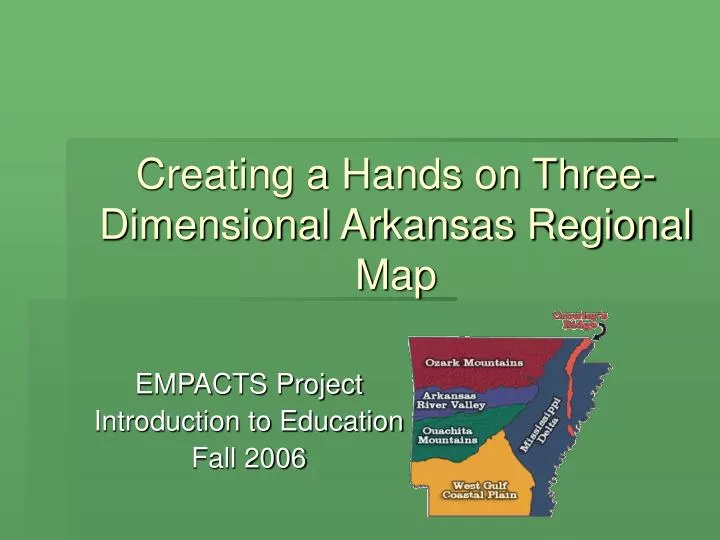
Creating a Hands on Three-Dimensional Arkansas Regional Map EMPACTS Project Introduction to Education Fall 2006
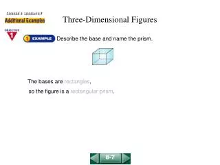
Arkansas Regions: • Arkansas River Valley • Crowley’s Ridge • Mississippi Alluvial Plain (Delta) • Ouachita Mountains • Ozark Mountains (Plateau) • West Gulf Plain
Materials Used: • Black fabric shower curtain • Various textures and colors of fabric • Hot glue gun, spray glue and fabric glue • Array of stuffing materials We worked on our project for three weeks for a collection of 17 hours a piece. The total cost of materials for this project was approximately $40.00. Each region of Arkansas is a different color and texture of fabric. Our goal is to attempt to make an Arkansas regional map that is as kid friendly and hands on as possible.
DAY ONE September 9, 2006
Brittany and Valarie preparing the shower curtain for the application of the various materials. The map was drawn to scale therefore measuring was required. After the map was drawn , we then brainstormed as to which textured material would represent each region.
Exact measurements were of the up most importance. Prep work for the mountain range. Michelle is shaving foam blocks that made up Mt. Magazine.
The Ouachita Mountain region was made using a variety of items ranging from crumpled magazine pages, poster board, and foam blocks. After applying the materials for the mountain range the brown material was then applied.
Gluing down Mississippi Alluvial Plain region of the map. We call it quits for the day after getting our second region applied.
DAY TWO September 16, 2006
Laying out the material for the West Gulf Coastal Plain. Continuing to work on the West Gulf Coastal Plain.
We stepped outside to apply the spray adhesive on the materials that was to become the Ozark Mountain Plateau. After applying the glue we brought the material indoors to attach.
Nearing completion… The final project is finally starting to take shape…