Download
1 / 98
980 likes | 988 Views
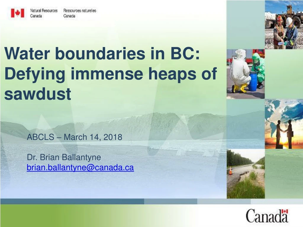
Water boundaries in BC: Defying immense heaps of sawdust. ABCLS – March 14, 2018 Dr. Brian Ballantyne brian.ballantyne@canada.ca. The equation. Water bound = Principle(s) + Facts + k Where k = Negotiations with client, municipality, Crown, … (i.e. you can’t always get what you want).

E N D
Water boundaries in BC:Defying immense heaps of sawdust ABCLS – March 14, 2018 Dr. Brian Ballantyne brian.ballantyne@canada.ca
The equation Water bound = Principle(s) + Facts + k Where k = Negotiations with client, municipality, Crown, … (i.e. you can’t always get what you want)
Triple whammy: • Boundary inaccurate in 1921: • Boundary inaccurate in 1973. • Erosion by 2013.
Some answers • Yes (accretion below a dam?) • No (fill/alteration shifting a bound?) • No (historic flooding shifting a bound?) • Yes (avulsion leading to accretion?) • Yes (accretion along a slough?) • No (grant excepting dry ravines/gulches)? • Yes (landowner allowed to prevent erosion?) • Yes (dereliction dating to Abbot of Ramsey, 1365?)
Water boundaries on Canada Lands: That fuzzy shadowland (2015) http://www.nrcan.gc.ca/sites/www.nrcan.gc.ca/files/earthsciences/pdf/Water-bounds-monograph-English-web.pdf Subsequently, 50% more British Columbia! • Provincial Lands Regs(SK - 2017): Accretion is back! • Middlesex v MacMillan (ONCA - 2016): Navigability • Brydon v Thom (BCCA – 2015): Access & alteration • BC v Miller (SCC – 1975): Back of beach * One thing in this list is different than the other things
12 steps to water boundary bliss • Parcel must be riparian when transferred. • Boundary has potential to shift. • Shift is a function of rate, not cause. • Accretion must be apportioned equitably. • Dams do not necessarily affect bounds. • Sudden shifts in water affix water bounds.
12 steps to water boundary bliss • Many plans show water bounds poorly. • Riparian parcels are constrained. • Navigability continues to play a role. • Public interest affects water bounds. • Common & usual presence to be sought. • Principles wrestle with BC watercourses.
Bonus bliss!!!! 13. Principles apply to all lands (fee simple, First Nation Reserves, Crown parcels)!!!!
Poster child 1896: Lot 134 surveyed 1911: Lot 134 granted “excepting a 1ch strip measured from HWM” – Monashee v BC (1981 - BCCA)
Is it a watercourse? • Source (inflow) • Outlet (outflow) • Gradient (slope) • Banks (cross-section geomorphology) Must have 3 outta 4 characteristics! Kapicki v Andruick(1975 – ABSC)
Water bounds are imprecise +/- 5m okey-dokey(e.g. planning purposes) Stonemanv Denman Island Local Trust (2013 – BCCA) “There is a certain imprecision, and perhaps imperfection.” Andrietv. Strathcona County (2008 – ABCA) There “is arbitrariness and opinion involved in deciding exactly where to determine the natural boundary to be” Harris v. Hartwell(1992 – BCSC)
Present natural boundary Land Act, s1: Visible high water mark of a body of water “where the presence and action of the water are so common and usual, and so long continued in all ordinary years” as to cause a distinct change in the soil and vegetation between the bed and banks. * my emphasis
Vegetation/soil • AG BC v. Miller(1975 - SCC) • Lawrence v. AG BC (2010 - BCSC) • Village of Island View v. Romashenko, (2010 - SKCA)
Water bound is ambulatory if: • It shifts slowly, gradually and imperceptibly • The shift is incremental (happens at bound) • The cause is either: - natural forces (water or wind), or - inadvertent effect of legitimate structure (e.g. bridge across N SK River ca 1900)
What is accretion and erosion? • If the water bound moves out, then accretion has occurred and the parcel increases (reliction, retreat) • If the water boundary moves in, then erosion has occurred and the parcel decreases (submergence, encroachment)
Whence come these principles? • Clarke v. City of Edmonton (1929 - SCC) • Neilson v. AG BC (1956 - SCC) • Queen’s County v. Cooper (1946 - SCC) • South Centre of Theosophy v. S Aust. (1982 - PC) • Robertson v. Wallace (2000 – ABQB)
Clarke v Edmonton circa 1883
How is accretion apportioned? • Paul v. Bates (1934 - BCSC) • Re Brew Island (1977 - BCSC) • Andrietv Strathcona(2008 - ABCA)
Re: Brew Island (1977 - BCSC) Accreted Land
Constraints on accretion = Parcels Pitt v Red Deer(2000 - ABCA): That part of the NE ¼ lying west of the Red Deer River. As the river moved out of the NE ¼, the parcel only increased to 160 ac. Johnson v Alberta(2005 - ABCA): That part of the section not covered by the waters of Buffalo Lake. As the lake receded, the parcel only increased to 640 ac.
Lack v AB (2011 - ABQB) circa 1900: Grant of the NE ¼ of S25, not covered by waters of Gull Lake 1930: Subdivision of part of NE ¼ of S25 2007: Gull Lake had receded 600+m • Out of NE ¼ of S25 • Into SE ¼ of S36