Download
1 / 11
110 likes | 115 Views
This weekly outlook provides updates on soil temperatures, crop progress, and precipitation patterns in the Midwest. It includes information from USDA NASS Crop Progress reports, 7-day and 30-day precipitation totals, US Drought Monitor updates, and 8-14 day temperature and precipitation forecasts.

E N D
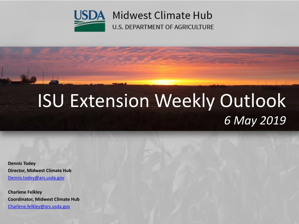
ISU Extension Weekly Outlook6 May 2019 Dennis Todey Director, Midwest Climate Hub Dennis.todey@ars.usda.gov Charlene Felkley Coordinator, Midwest Climate Hub Charlene.felkley@ars.usda.gov
Avg. 4” soil temps mostly 50s with some 60s SW. Sunday 4” soil temperature https://mesonet.agron.iastate.edu/agclimate/soilt.php
Heaviest in SE IA 2-5”. Lighter across northern IA – mostly less than an inch. 7 Day precip (through 7 AM Sunday) https://water.weather.gov/precip/
Wetter than average far NW and east. Still drier than average central – SW. Less than 25% in places far west. 30 Day Precip. Total/% Avg. https://hprcc.unl.edu/maps.php?map=ACISClimateMaps
90 day patterns similar to 30 day with some less extremes (dry). 90 Day Precip. Total/% Avg. https://hprcc.unl.edu/maps.php?map=ACISClimateMaps
Slight cooler than average NW around to SE. Slightly warmer than average central – SW. Likely related to wet/dry locations in the state. 30 Day Temperatures https://hprcc.unl.edu/maps.php?map=ACISClimateMaps
D0 pockets in North Dakota and Iowa. Dry areas in Iowa still not to D-levels. Longest period ever in the Midwest since the start of the USDM. Now at 7 8910 weeks of no coverage in the Midwest. US Drought Monitor http://droughtmonitor.unl.edu/
Active week (again) statewide – mostly mid-week. Several inches possible again. 7 Day Forecast Precip. http://www.wpc.ncep.noaa.gov/qpf/p168i.gif?1484935973
8-14 Day Temp and Precip. 8-14 day stays moderate on precip but temperatures overall are likely to be cooler than average. http://www.cpc.ncep.noaa.gov/
Midwest Climate Hub @dennistodey https://www.climatehubs.oce.usda.gov/hubs/midwest For More Information Charlene Felkley, Coordinator 515-294-0136 Charlene.felkley@ars.usda.gov Dennis Todey, Director 515-294-2013 Dennis.todey@ars.usda.gov Erica Kistner, Fellow 515-294-9602 Erica.kristner@ars.usda.gov National Laboratory for Agriculture and the Environment Attn: Midwest Climate Hub 1015 N University Blvd Ames, Iowa 50011-3611