Download
1 / 18
180 likes | 355 Views
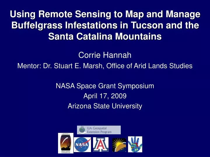
Using Remote Sensing to Map and Manage Buffelgrass Infestations in Tucson and the Santa Catalina Mountains. Corrie Hannah Mentor: Dr. Stuart E. Marsh, Office of Arid Lands Studies NASA Space Grant Symposium April 17, 2009 Arizona State University.

E N D
Using Remote Sensing to Map and Manage Buffelgrass Infestations in Tucson and the Santa Catalina Mountains Corrie Hannah Mentor: Dr. Stuart E. Marsh, Office of Arid Lands Studies NASA Space Grant Symposium April 17, 2009 Arizona State University
Invasive species originally brought from Africa to the Americas for cattlegrazing Threatens to out-compete native species Potential to transform the fireproof Arizona Sonoran Desert into a burning savannah What is Buffelgrass? (Pennisetum ciliare) National Fire Plan http://www.forestsandrangelands.gov
What is Remote Sensing? A science that uses satellite imagery and aerial photography to identify features and natural processes on the Earth’s surface
Objectives • Identify a practical method of mapping and managing buffelgrass in Southern Arizona • Determine benefits of different spectral and spatial satellite and aerial imagery to locate buffelgrass
Methods • Identified remotely sensed imagery • Manually digitized high resolution aerial imagery • Located buffelgrass locations: Presence & Absense • Fieldwork! Validated digitized ground control points • Classified buffelgrass locations in images • Accuracy assessments Area of Study: Santa Catalina Mountains North of Tucson
Heads-up Digitizing Buffelgrass!!!
Supervised Classifications Red polygon areas indicate buffelgrass presence 1m Aerial Image 1ft Aerial Image 30m ASTER Satellite Imagery 30m Landsat Satellite Imagery
Texture Filters and Topography Red polygon areas indicate buffelgrass presence 1ft Aerial Image + Texture + Topography 1m Aerial Image + Texture + Topography 15m ASTER Satellite Image + Topography 30m Landsat Satellite Image + Topography
Multi-temporal Stacks Red polygon areas indicate buffelgrass presence 15m ASTER scene composite: 4/22/2006 and 7/18/2006 15m ASTER scene composite + Topography: 4/22/2006 and 7/18/2006 15m ASTER scene composite: 7/18/2006 and 11/27/2008 15m ASTER scene composite + Topography: 7/18/2006and 11/27/2008
Binary Ensemble A composite stack of the twenty classifications: buffelgrass presence or absence Red = 10 or more models predict buffelgrass Yellow = 5 or more models predict buffelgrass Green/White = less than 5 models predict buffelgrass
Place where the most models were successful at locating buffelgrass Photo from the Field 1ft Aerial photography Binary Ensemble: Close-up
Place where most models were not as successful at locating buffelgrass Photo from the Field 1ft Aerial photography Binary Ensemble: Close-up
Place where the most models were successful at locating buffelgrass Photo from the Field Binary Ensemble: Close-up 1ft Aerial photography
Results • High-resolution imagery was more reliable than moderate-resolution imagery at locating buffelgrass • Manual digitization of the1ft aerial photography was the most accurate method of classifying buffelgrass • Of the automated classified images, the 1ft aerial photography with topography and texture was the most accurate
Conclusion We suggest that 1ft resolution or higher aerial photography, which covers much of the infested areas surrounding Tucson, should be used to most effectively map and manage buffelgrass infestations in the future.
Aaryn D. Olsson Kyle A. Hartfield Stuart E. Marsh Barron J. Orr Grant Casady Arizona Remote Sensing Center Office of Arid Lands Studies NASA Space Grant Consortium Acknowledgements