Download
1 / 7
80 likes | 303 Views
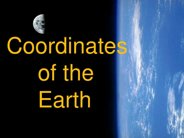
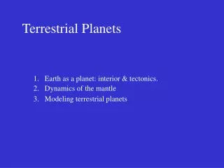
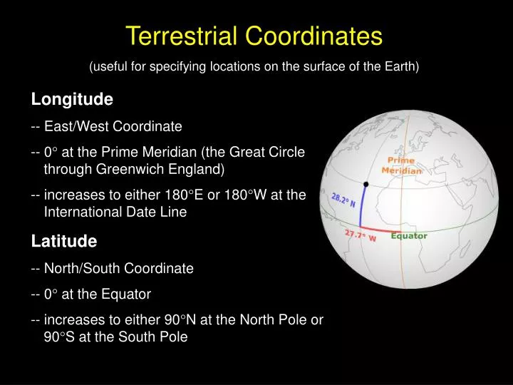
Terrestrial Coordinates (useful for specifying locations on the surface of the Earth). Longitude -- East/West Coordinate -- 0 at the Prime Meridian (the Great Circle through Greenwich England) -- increases to either 180 E or 180 W at the International Date Line

E N D
Terrestrial Coordinates (useful for specifying locations on the surface of the Earth) Longitude -- East/West Coordinate -- 0 at the Prime Meridian (the Great Circle through Greenwich England) -- increases to either 180E or 180W at the International Date Line Latitude -- North/South Coordinate -- 0 at the Equator -- increases to either 90N at the North Pole or 90S at the South Pole Longitude -
Parallels of Latitude
Celestial Equatorial Coordinates (useful for specifying locations on the Celestial Sphere) Right Ascension -- East/West Coordinate -- 0 hours at the Vernal Equinox (the intersection of the ecliptic and the celestial equator where the sun is moving northward) -- increases eastward to 23 hours 59 minutes Declination -- North/South Coordinate -- 0 at the Celestial Equator -- increases to either +90 at the North Celestial Pole or -90 at the South Celestial Pole Longitude -
Ecliptic (the apparent path of the sun)
Horizon Coordinates (useful for specifying locations relative to a particular observer) Azimuth -- specifies location on the horizon directly below the object -- 0 at the north point on the horizon and increasing eastwards (90 at the east point, 180 at the south point, 270 at the west point). Altitude -- specifies angular distance above horizon -- 0 at the horizon -- increases to either +90 at the zenith or down to -90 at the nadir Longitude -
Declination Ranges (Declinations of stars which can be seen from specific latitudes on the Earth. Most locations have 3 distinct groups of stars.) Circumpolar Stars -- stars which are always above the observer’s horizon -- from (90 – lat) up to the pole in that hemisphere (+69 to +90) Never Rise Stars -- stars which never come above the observer’s horizon -- from (90 – lat) up to the pole in that hemisphere (-69 to -90) Rise & Set Stars -- stars which can either rise or set during the night and which change with the seasons -- from (90 – lat) to (90 – lat)in the other hemisphere (-69 to +69) Longitude - Observer at 21N
Draw in the pole corresponding to the hemisphere of the observer at an altitude equal to the observer’s latitude. (Ex. An observer in Lincoln, NE (lat. = 41N) would draw in the NCP at an altitude of 41 above the north point.) • Draw in the Celestial Equator 90 away from the pole. The Meridinal Altitude of the Celestial Equator is 90 minus the observer’s latitude. • Take into account the declination of the object. If the declination is positive move from the celestial equator toward the NCP -- if declination isnegative move toward the SCP. • The Meridinal Altitude is then the altitude of object on the observer’s meridian. Meridinal Altitude should be less than 90. Meridinal Altitude (the maximum altitude an object has on a certain date) The Meridinal Altitude of Sirius (dec. = -17) from Lincoln, NE (lat. = 41) is 32.