Download
1 / 11
110 likes | 234 Views
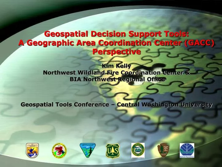
Geospatial Decision Support Tools: A Geographic Area Coordination Center (GACC) Perspective Kim Kelly Northwest Wildland Fire Coordination Center & BIA Northwest Regional Office Geospatial Tools Conference – Central Washington University. Presentation Objectives.

E N D
Geospatial Decision Support Tools: A Geographic Area Coordination Center (GACC) Perspective Kim Kelly Northwest Wildland Fire Coordination Center & BIA Northwest Regional Office Geospatial Tools Conference – Central Washington University
Presentation Objectives • Background on Geographic Dispatch Center Role in Fire • Outline GIS in Role in Supporting the Mission of the Dispatch Center • Discuss Various Data Inputs that decision makers require. • Describe how to spatially enable raw Data Inputs • Describe the Northwest Coordination Center Perspective in; tools and products used to provide geospatial outputs used within a larger decision matrix • Enhance the understanding that there are many ongoing National, Regional, and Local Fire Programs , Projects and Efforts that make pulling together Geospatial Data and Active Fire Information Possible.
Fire Intelligence Meteorology GIS Technology NWCC GIS Support Predictive Service Products Emergency Operations Decision Making Information Sharing Regional Geographic Area Coordination Centers (GACC’s)for Incident Dispatch • Provide a Focal Point for Logistical and Intelligence for Support of Wildland Fire, Prescribed Burning, All-Risk Incidents • Facilitate Movement of Regional Incident Resources ie. Crews, Engines, Aircraft, Single Resources • Monitor Weather and Provide Predictions for Potential Wildfire Activity • Coordinate Movement of Resources with Regional GACC’s and National Interagency Coordination Center (NICC)
Active Incident GIS Data Predictive Services Weather and Fuels Data Active Lightning Historic Fire Information Fire Behavior Models Values at Risk Fire Resources Remote Sensing Data Data Inputs Product Outputs Resource Decision Internal Map Display External Map Display Briefing Display Shareable File Outputs Regional Visualize Geospatial Fire Situation Input into Decision Matrix for Prioritizing Fires Pre-Positioning Fire Resources Based on Fuels, Weather Conditions Allocate Resources on Existing Large Fires
Lightning Display Map for Media and Predictive Services • Map uses a combination • Of the Automated Lightning Mapping Tool • (ALMS). Joe Frost USFS NIFC • Meteorology (MET) Toolbar, Tim Smith Northrup Grumman BLM State Office. Original Tool Development • Travis Butcher, WADNR.
National Fire Danger Rating SystemRemote Area Weather Station Fuels Observations100 Hour, 1000 Hour, Energy Release Component (ERC) Values • Spatial Analyst • Interpolation IDW with • Natural Topological Breaks • EX. Cascade Mountain Range • Use of Standardized Values to • Display relativity to similar • physiographic and climate regions
National Fire Danger Rating SystemRemote Area Weather Stations using Forecasted National Weather Service Temperature and Relative Humidity • Future Products • Daily Fire Acreage Totals by PSA • Lightning Probability by PSA/Grid • Temp/RH Using NWS NDFD Gridded Data • Larger Scale Large Fire Probability
NW GACC use of Fire Spread Probability Model (FSPRO) & Rapid Assessment Values at Risk (RAVAR) as a Prototype Fire Season 2006 as a Strategic Decision Support Tool Lightning Bust Willamette NF August 8th, 2006 Intell reported 64 New Starts Map by Barbara Haney Map and Analysis by Rob Seli & Kevin Hyde
Puzzle Creek & Lake George Fires FSPRO incorporates Minimum Travel Distance Analysis. Lake George FSPRO Run showed MT Vectors with Completed Fire Line to show cutting off potential for larger fire spread to the Northeast. Map and Analysis by Rob Seli & Kevin Hyde Decision made to assign existing Type I Team due to relative recent fire history as well as fire growth limitations. Map Kim Kelly and Analysis by Rob Seli
Display Tools Briefing of Regional Fire Situation • Data Input • Active Incident Data • MODIS Thermal • WFSA / MMA • FSPRO / Model • RAVAR • Fire History • Land Management • AFF
Kim Kelly 503-808-2741 Kim_Kelly@blm.gov http://www.nwccweb.us/predict/gis.asp