Download
1 / 11
110 likes | 216 Views
Truck Fleet Data Display for Burlington Department of Public Works. University of Vermont Senior Experience in Engineering Design. The Team. University of Vermont Undergraduates: Yago Alonso Garcia – Electrical Engineering Kenn Austin – Computer Science Matt Clark – Mechanical Engineering

E N D
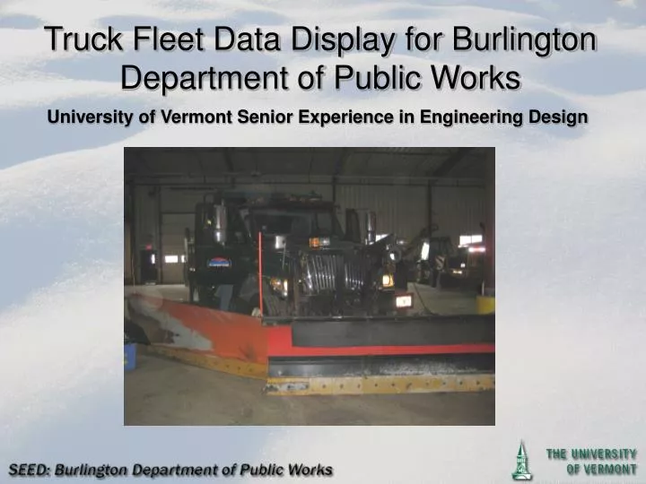
Truck Fleet Data Display for Burlington Department of Public Works University of Vermont Senior Experience in Engineering Design
The Team • University of Vermont Undergraduates: • Yago Alonso Garcia – Electrical Engineering • Kenn Austin – Computer Science • Matt Clark – Mechanical Engineering • Alex Estey – Mechanical Engineering • University of Vermont Faculty Advisor: • Jeff Frolik – Electrical Engineering • Burlington Department of Public Works: • Norm Baldwin – Assistant Director of Public Works
The Customer • Burlington Department of Public Works (BDPW) • Responsible for approximately: • 240 lane-miles of road • 220 miles of sidewalk • 14 Full time employees working within the Right of Way (R.O.W.) workgroup • Fleet: • 10 Full-sized Trucks with Wing Plows • 3 Mid-Sized Trucks • 3 Bucket Loaders • 12 Sidewalk Tractors
The Problem • Develop an operational tracking system for BDPW’s fleet of Snow Removal and Deicing Vehicles • System must be real time • Collect data for: • Position (GPS) • Speed • Salt Spreading • Temperature (Road and Ambient) • Plow Engagement • All data sent back to BDPW real-time • Data Displayed in Easily Readable Format For BDPW Customer Support and Management
Motivation For Tracking System • No Real-Time Accountability For Road and Sidewalk Clearing • Better Response Customer Inquiries • Alter Deployment to Respond to Varying Conditions • Analyze Clearing Schemes For Improved Response
Potential Solution: Data Collection • Cirus Controls SpreadSmart RxTM • Collects Data For: • Position via GPS • Speed • Salt Spreading • Temperature (Road and Ambient) • Plow Engagement • Drive-By Download of Data via Wi-Fi Router • Not Real-Time • Scalable • Maintainable Long-Term
Potential Solution: Data Collection • Motorola Digital Mobile Radio • Tracks Location (GPS) • Sends Data Over Digital Radio Channel • Real-time • Service Charge to use radio network • Limited capabilities for integration with other sensors • Scalable
Our Solution • Integrate Cirus Controls Logger System with Broadband Enabled Ruggedized Tablet PC • Real-Time • Sensor Integration with Logger Already Established • Ruggedized Tablet PC to withstand harsh operating environment
The Data Flow: Collection • Sensors: • Location • Speed • Salt Spreading • Temperature • Plow Engagement Cirus Controls Logger Tablet PC
The Data Flow: Distribution Verizon Wireless Broadband Network Card Tablet PC MySQL Database On City of Burlington Server BDPW
Data Display Software Application • Raw Data From Cirus Logger Is Converted to a Shape File (ArcGIS Format) at BDPW • Data is Displayed in a Program Developed in Visual Basic with the Assistance of the ArcGIS Software Development Kit (SDK)