Download
1 / 54
550 likes | 792 Views
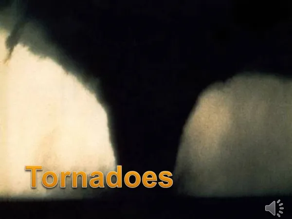
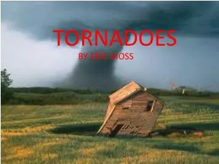
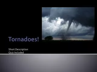
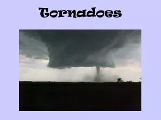
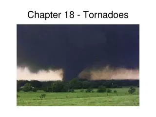
CHAPTER 12 TORNADOES. Tornadoes. Some supercells create enough rotation that the circulation will contract and reach the ground – a tornado Defined as a violently rotating column of air, in contact with the ground, and below a cumuliform cloud. Significant tornado days per century.

E N D
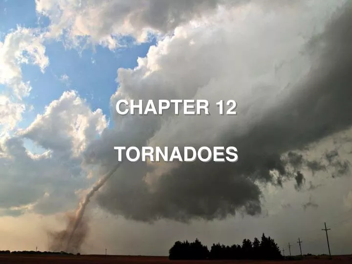
CHAPTER 12 TORNADOES
Tornadoes • Some supercells create enough rotation that the circulation will contract and reach the ground – a tornado • Defined as a violently rotating column of air, in contact with the ground, and below a cumuliform cloud Significant tornado days per century Tornado days per year
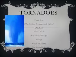
Distribution • Tornado “days”
Seasonal Shift NSSL Animation: Tornado probability climatology http://www.nssl.noaa.gov/hazard/tanim8094/sigtanim2195.html http://www.nssl.noaa.gov/hazard/tanim8094/viotanim2195.html
Tornado Trivia • Funnel Cloud until circulation reaches ground • Shapes • Mostly < 135 mph, but can exceed 250 mph • Diameters: • Most: 300 to 2000 ft • Small as 20 feet, big as 1+ mi! • Mostly CCW (because most tornadicsupercells rotate CCW) • Cyclostrophic balance, HPGF and Centrifugal • Mostly move SW to NE, 25 to 50 mph • Can last a few mintues, or hours (long track, tornado “family”)
Tornadoes • Non-supercelltornadoes also occur – they often form along boundaries in unstable environments, e.g. a squall line MCS. (like bookend vortex of a bow echo).: landspouts & waterspouts Before a tornado forms, a low cloud called the “wall cloud” will appear from under the main updraft and mesocyclone
TORNADO LIFE CYCLE • Dust-whirl stage • Mature stage • Shrinking • Decay stage • NWS Jetstream
Wedge tornado • Windsor, CO
Favorable conditions for tornadoes Example from book • In addition to moisture, instability, and lifting, we need strong wind shear • At low levels, southerly winds bringing warm, moist air into the area • Aloft, advection of dry air adds to instability • Upper-level divergence leads to low-level upward motion
A “textbook” example Surface map
Asymmetric Winds Fig. 12.9, p. 340
Monitoring severe weather 1-3 days in advance – convective outlook A few hours in advance – severe thunderstorm or tornado watch – this means conditions are favorable – keep alert www.spc.noaa.gov
Monitoring severe weather Warnings: Issued for one or more counties when a severe thunderstorm or tornado has been spotted or observed by radar
Seeking shelter • Basement or small, interior room on ground floor • Do NOT open windows • Mobile Home: Must leave. Period. • Auto: See previous slide • NEVER under an overpass
Current Events: Mapleton, IA • http://vimeo.com/22221449 • Radar • Radar (Velocity) • Satellite • 032 WFUS53 KOAX 100008 TOROAX IAC133-100045- /O.NEW.KOAX.TO.W.0010.110410T0008Z-110410T0045Z/ BULLETIN - EAS ACTIVATION REQUESTED TORNADO WARNING NATIONAL WEATHER SERVICE OMAHA/VALLEY NEBRASKA 708 PM CDT SAT APR 9 2011 THE NATIONAL WEATHER SERVICE IN OMAHA HAS ISSUED A • * TORNADO WARNING FOR... NORTHEASTERN MONONA COUNTY IN WEST CENTRAL IOWA... • * UNTIL 745 PM CDT * AT 707 PM CDT...NATIONAL WEATHER SERVICE METEOROLOGISTS DETECTED A SEVERE THUNDERSTORM CAPABLE OF PRODUCING A TORNADO. THIS DANGEROUS STORM WAS LOCATED 11 MILES EAST OF WHITING...OR 34 MILES SOUTHEAST OF SIOUX CITY...AND MOVING EAST AT 25 MPH. • * LOCATIONS IMPACTED INCLUDE... MAPLETON. • PRECAUTIONARY/PREPAREDNESS ACTIONS... THIS TORNADO WARNING REPLACES THE SEVERE THUNDERSTORM WARNING THAT WAS IN EFFECT FOR THE SAME AREA. GO TO A BASEMENT OR SMALL INTERIOR ROOM ON THE LOWEST FLOOR! TAKE COVER NOW. MOVE TO AN INTERIOR ROOM ON THE LOWEST FLOOR OF A STURDY BUILDING. AVOID WINDOWS. IF IN A MOBILE HOME...A VEHICLE OR OUTDOORS...MOVE TO THE CLOSEST SUBSTANTIAL SHELTER AND PROTECT YOURSELF FROM FLYING DEBRIS. &&\ • Newspaper • SPC
Enhanced Fujita scale for tornado intensity • Based on damage – rating is assessed after the tornado (different from hurricanes, when the category is assigned while the storm is happening) • Originally developed by Dr. Ted Fujita of the University of Chicago in the 1970s • Updated in 2007 to the “Enhanced Fujita” scale • EF4 and EF5 tornadoes are very rare, but most deaths are caused by them
First EF5 (new scale) • Greensburg, KS, May 4, 2007
TORNADO OUTBREAKS • Outbreak: Typically, conditions will be favorable over a large area for supercells, and we may have many tornadoes for a synoptic event. • Tornado Families • Single supercell, multiple tornado “drops” • Typical pattern: • Super outbreak
New Outbreaks for the record books • Super Outbreak, 27 April 2011 • http://www.srh.noaa.gov/bmx/?n=event_04272011 • http://www.wunderground.com/blog/JeffMasters/comment.html?entrynum=1796 • Joplin EF-5, 22 May 2011, ~160 Fatalities • http://www.crh.noaa.gov/sgf/?n=event_2011may22_summary
NWS Photo Fig. 12.17, p. 347
TORNADO FORMATION • Basic requirements are the usual for a thunderstorm (M , L, I ), and strong vertical wind shear. • Supercell Tornadoes • Wind sheer causes spinning vortex tube that is pulled into thunderstorm by the updraft • Terms: Mesocyclone, BWER, rear flank downdraft, vertical stretching, funnel cloud, rotating cloud, wall cloud, RFD, FFD
TORNADO FORMATION • Nonsupercell Tornadoes • Boundaries give rise to low level rotation • Convection stretches rotation • Also bookends of bow echoes • Remember the Florida bow echoes?