Download
1 / 19
190 likes | 325 Views
SPO serves out ESIs. NOS Data Explorer First served out all of the PDF maps - hyperlink to individual maps - batch download user-defined areas of maps Next served out the full CD/DVD zipped up - Fall 2011 NOS DE taken offline, replaced by a metadata-only search tool.

E N D
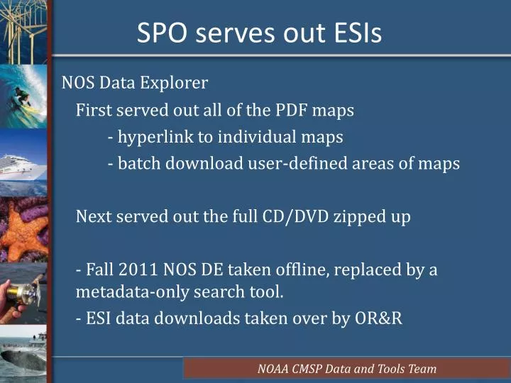
SPO serves out ESIs NOS Data Explorer First served out all of the PDF maps - hyperlink to individual maps - batch download user-defined areas of maps Next served out the full CD/DVD zipped up - Fall 2011 NOS DE taken offline, replaced by a metadata-only search tool. - ESI data downloads taken over by OR&R
Composite ESI Shoreline Service Composite of all available ESI shorelines Currently in alpha stage. • Symbolization issues to be worked out • Speed issues may be addressed (base projection) • Different levels of classification aggregation possible • Standard (symbolized on “most sensitive”) • Combined symbolization/multiple per segment (“carto”)
Types of Shoreline Services Two types of map services available pre-tiled map service • fast, pre-rendered images • ID functionality exists Feature service • slow, but allows for client-side symbolization and selections through web app • All data must be in SDE
Dynamic Shoreline Feature ServiceMost Sensitive Symbolization
Relate link ESI Data exported to KML
Links Map services: http://egisws02.nos.noaa.gov/ArcGIS/rest/services/ESI Individual PDF GE overlays: http://nosimagery.noaa.gov/images/esi/ESI_GE/DE_NJ_PA/DE_NJ_PA_maps.kmz WMS in GE of Seamless Maps: http://nosimagery.noaa.gov/images/esi/ESI_GE/DE_NJ_PA/DE_NJ_PA_maps_WMS.kml