1 / 51

400

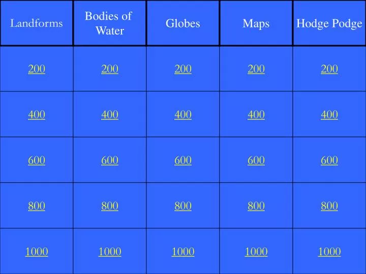
Landforms. Bodies of Water. Globes. Maps. Hodge Podge. 200. 200. 200. 200. 200. 400. 400. 400. 400. 400. 600. 600. 600. 600. 600. 800. 800. 800. 800. 800. 1000. 1000. 1000. 1000. 1000. Elevated land with sloping sides and a rounded summit. What is a hill?.

Download Presentation

400

An Image/Link below is provided (as is) to download presentation Download Policy: Content on the Website is provided to you AS IS for your information and personal use and may not be sold / licensed / shared on other websites without getting consent from its author. Content is provided to you AS IS for your information and personal use only. Download presentation by click this link. While downloading, if for some reason you are not able to download a presentation, the publisher may have deleted the file from their server. During download, if you can't get a presentation, the file might be deleted by the publisher.

E N D

Presentation Transcript


  1. Landforms Bodies of Water Globes Maps Hodge Podge 200 200 200 200 200 400 400 400 400 400 600 600 600 600 600 800 800 800 800 800 1000 1000 1000 1000 1000

  2. Elevated land with sloping sides and a rounded summit

  3. What is a hill?

  4. Land area completely surrounded by water

  5. What is an island?

  6. A series of connected mountains

  7. What is a mountain range?

  8. Area of low land between hills or mountains

  9. What is a valley?

  10. Low-lying land built up from soil carried downstream by a river and deposited at its mouth

  11. What is a delta?

  12. Part of a large body of water that extends into the shoreline, generally smaller than a gulf

  13. What is a bay?

  14. Inland body of water

  15. What is a lake?

  16. Part of a body of water that extends into a shoreline, usually larger than a bay

  17. What is a gulf?

  18. Large, thick body of slowly moving ice

  19. What is a glacier?

  20. Narrow stretch of water joining two larger bodies of water

  21. What is a strait?

  22. Ninety degrees North latitude

  23. What is the North Pole?

  24. The line of latitude that divides the Earth into the Northern and Southern Hemispheres

  25. What is the Equator?

  26. Southern boundary of the Tropical Zone

  27. What is the Tropic of Capricorn?

  28. 66 ½ º S latitude

  29. What is the Antarctic Circle?

  30. This is located at 0° longitude

  31. What is the Prime Meridian?

  32. Tells what a map is about

  33. What is the map title?

  34. This is used to find location on a map

  35. What is a grid?

  36. This shows direction on a map

  37. What is a compass rose?

  38. A type of map that shows cities and boundaries of countries

  39. What is a political map?

  40. A type of map that shows routes from one city to another

  41. What is a road map?

  42. Ninety degrees South latitude

  43. What is the South Pole?

  44. The shape of the Earth

  45. What is a sphere?

  46. 66 ½ ° N latitude

  47. What is the Arctic Circle?

  48. A point of land that extends into a river, lake, or ocean

  49. What is a cape?

  50. A mountain created as liquid rock and ash erupt from inside the Earth

More Related