Download
1 / 14
140 likes | 320 Views
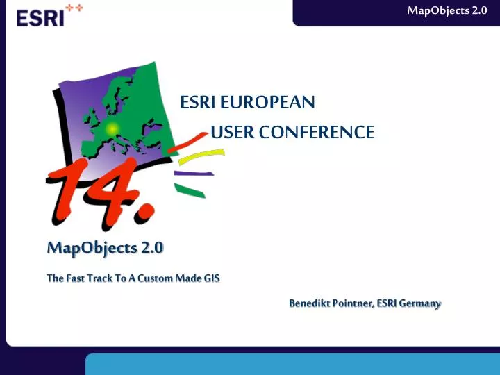
ESRI EUROPEAN USER CONFERENCE. MapObjects 2.0 The Fast Track To A Custom Made GIS Benedikt Pointner, ESRI Germany. GIS And Mapping Components. Visual Basic Delphi Visual C++ PowerBuilder Access Others. Other Components. Developer Advantages. Fast development Embeddable Scalable

E N D
ESRI EUROPEAN USER CONFERENCE MapObjects 2.0 The Fast Track To A Custom Made GIS Benedikt Pointner, ESRI Germany
Visual BasicDelphiVisual C++PowerBuilderAccessOthers... Other Components
Developer Advantages Fast development Embeddable Scalable Combinable “MapObjects is ESRI’s first successful step into the world of COM - MO2 expands that success”,says Cezmi Bilmez,leader of the development team at ESRI Germany
User Advantages Lightweight Task focused Easy to use Data combined GIS capabilities Affordable
Examples Map viewer CD publishing GPS applications Productivity tools Internet maps
MapObjects Professional 2.0 • New capabilities • Improved functionality • Enhanced Performance and Quality
Extended Data Support • CAD (DXF, DWG, VPF) • ARC/INFO GRID • 3D Shapefiles (z / m value) • MrSID, GeoTIFF, GIF, JPEG • ERDAS IMAGINE • Direct SDE API access
Geocoding • Geocoding is the process of linking geographic code to a geographic location • Geographic code comes in many forms. Mostly house Addresses (Streetname, Streettype, house number, Zip-Code) • Why geocoding? • Geodemographics • Trade area analysis • Vehicle routing an logistics • etc, etc
Geometric Functions • Intersect • Buffer • Union • ExclusiveOr • Difference
Event-Renderer ZRenderer More... • New Renderer objects • Rotation • Image Transparency • Enchanced GPS Management • MoPlus objects are fully integrated • ...
ArcExplorer Components • Legend control (TOC) • Scalebar • Utilities • Source • Samples
Please contact us in the MapObject Product Center Live Demo