Download
1 / 12
120 likes | 124 Views
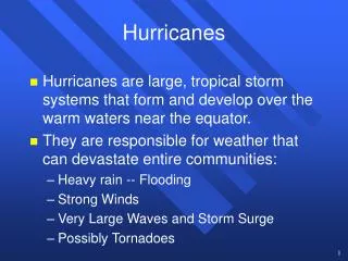
This article discusses the interagency requirements for agricultural assessments when hurricanes strike. It outlines the steps taken before, during, and after a storm, as well as the goals for future assessments. The article emphasizes the need for GIS-based products for track forecasts, intensity forecasts, wind swaths, and other hurricane-related data.

E N D
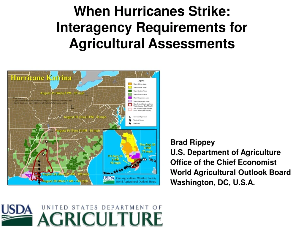
When Hurricanes Strike:Interagency Requirements for Agricultural Assessments Brad Rippey U.S. Department of Agriculture Office of the Chief Economist World Agricultural Outlook Board Washington, DC, U.S.A.
Before a Storm Strikes:Crop Areas and Track/Intensity Forecasts Track to date is mapped, along with NHC forecasts of track (polygon) and intensity. NHC data sets are layered with pertinent crop areas.
During a Storm’s Strike:Regular Updates for Top USDA Staff The Secretary of Agriculture and top agency officials receive updates at least every six hours based on NHC forecasts of track and intensity.
After a Storm Strikes:Agricultural Assessment Observed track is mapped, along with NHC’s tropical storm- and hurricane-force wind swaths. NHC data sets are layered with key agricultural production areas.
When Hurricanes Strike:Keys to Meeting Interagency Goals USDA’s crop production maps are available as GIS-based products. We (and other organizations) would like to see the same for NHC’s publicly issued products, such as the track and intensity forecasts (lower left) and wind swaths (right).
When Hurricanes Strike:Keys to Meeting Interagency Goals We would also like to see other hurricane-related products from NOAA provided in GIS-ready format (shapefiles for graphics; comma-delimited format for text).
When Hurricanes Strike:Determination of Disaster Areas Source: USDA’s Farm Service Agency, May 2006
When Hurricanes Strike:Determination of Disaster Areas Source: USDA’s Farm Service Agency, Jan. 2006
When Hurricanes Strike:Impacts Vary from Storm to Storm Examples of impact differences: – Ophelia (NC, 2005) produced heavy rain in cotton areas. – Wilma (s. FL, 2005) caused extensive wind damage.
A Quiet Year for the U.S. in 2006:Ernesto Headlined a Hurricane-Free Season First year without a landfalling U.S. hurricane since 2001 – but 2001 had Allison. Only Alberto and Ernesto struck the U.S. mainland at tropical-storm intensity.
Long After Storms Strike:Hurricanes and Citrus Production In 2004, multiple hurricanes sharply reduced Florida’s citrus production for the 2004/05 crop cycle. Serious effects on production continued through 2005/06 and 2006/07. ALL ORANGE DROUGHT, SPRING 1998 FREEZE, DECEMBER 1989 HURRICANES, SUMMER 2004 GRAPEFRUIT
When Hurricanes Strike:Goals for the Future NHC products in shapefile (GIS-based) format: - observed and forecast storm tracks and intensities - tropical storm- and hurricane-force wind swaths Other NOAA products in GIS-ingestible format: - storm-total rainfall (shapefile and/or text file) - maximum sustained winds and peak gusts (text file) THANK YOU!