Download
1 / 33
350 likes | 362 Views
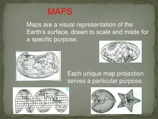
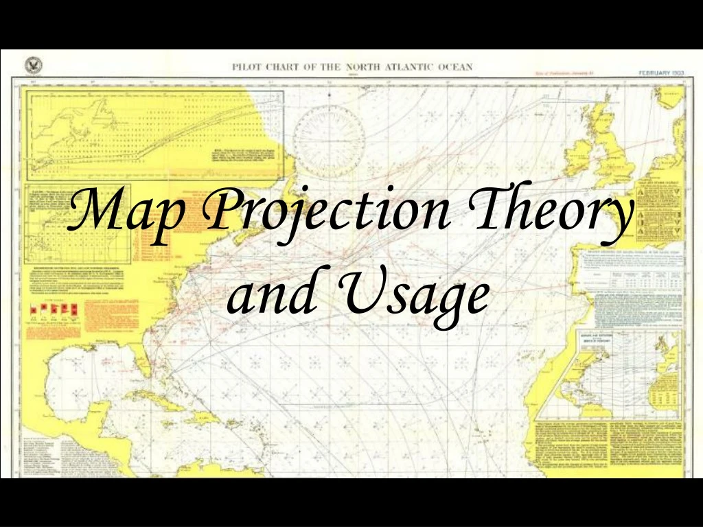
Map Projection Theory and Usage. What is a map projection?. A transformation of spherical or ellipsoidal Latitude,longitude ( f,l) coordinates to planar (x,y) coordinates on a flat surface. The Map Projection process in more depth. How can we make a Map projection?.

E N D
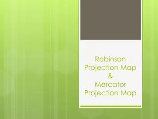
Map Projection Theory and Usage
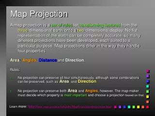
What is a map projection? A transformation of spherical or ellipsoidal Latitude,longitude (f,l) coordinates to planar (x,y) coordinates on a flat surface.
How can we make a Map projection? … By using coordinate transformation equations (x,y) Latitude (φ) , Longitude (λ) y x Mercator Projection x = Radius × λ y = Radius × ln (tan (45° + φ/2.0))
Geometric Distortion is Unavoidable when Transforming from a Spherical to a Flat Surface
Different Projections have Different Types of Geometric Distortion
Understanding Scale Distortion by Studying Scale Factors across the Projection Scale Factor = Denominator of Principal Scale RF _________________________ Denominator of Actual Scale RF RF stands for Representative Fraction
Principal Scale is the RF of the Generating Globe 1:100,000,000 1:50,000,000 Actual Scale is the RF at a Point on the Projection in a Given Direction
Scale Factor 2.00 times as large at the point 100,000,000 ___________ = 50,000,000
Scale Distortion Patterns On Major Types of Projections
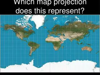
Cylindrical Projections Normal Aspect Transverse Aspect Oblique Aspect S.F.=1 S.F.>1 S.F.>1 S.F.>1 S.F.>1 S.F.=1 S.F.=1 S.F.>1 S.F.>1
Universal Transverse Mercator Projection Details
Normal Aspect, Secant Case Example --Sectional Aeronautical Charts --
Polar Aspect, Secant Case Example --Universal Polar Stereographic Grid Zones --
Oblique Aspect, Tangent Case Example --Great Circle Sailing Chart on Gnomonic Projection--
Oblique Aspect, Tangent Case Example -- Earth Day and Night on Orthographic Projection--
Oblique and Equatorial Aspect, Tangent Case Examples -- Rotating Globes on Orthographic Projection-- Which one is spinning correctly?
A Conformal Map Projection is one where Shapes and Directions are preserved locally
A Conformal Map Projection is one where Shapes and Directions are preserved locally
A Conformal Map Projection is one where Shapes and Directions are preserved locally
Normal Aspect, Secant Case Conformal Projection --Sectional Aeronautical Charts --
No Flat Map can be Conformal and Equal Area at the same time …Only a Globe can be!