Download
1 / 45
460 likes | 611 Views
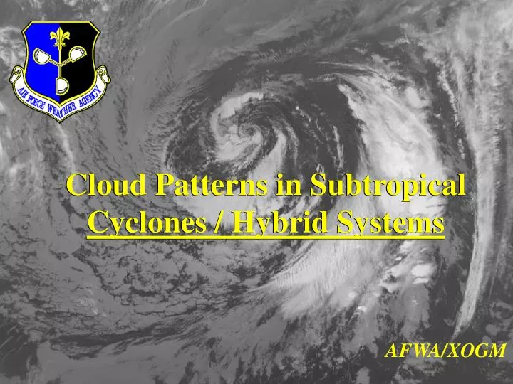
Cloud Patterns in Subtropical Cyclones / Hybrid Systems. Cloud Patterns in Subtropical Cyclones / Hybrid Systems. AFWA/XOGM. Cloud Patterns in Subtropical Cyclones / Hybrid Systems. Description Classification Tropical vs. Subtropical ? Climatology Imagery Examples

E N D
Cloud Patterns in Subtropical Cyclones / Hybrid Systems Cloud Patterns in Subtropical Cyclones / Hybrid Systems AFWA/XOGM
Cloud Patterns in Subtropical Cyclones / Hybrid Systems • Description • Classification • Tropical vs. Subtropical ? • Climatology • Imagery Examples • Intensity Analysis Procedures
Cloud Patterns in Subtropical Cyclones / Hybrid Systems • Description • Known by several different terms • Kona (Hawaii) • Hybrid System (Gray 1968) • Semitropical (Spiegler 1972) • Subtropical cyclones (Simpson 1952)
Cloud Patterns in Subtropical Cyclones / Hybrid Systems • Description (continued) • Definition: • Low level manifestation of a cut-off low (from Glossary of Meteorology) • Can exhibit both extratropical and tropical characteristics. • CAN transform into full tropical cyclones - even hurricane intensity! • We are required to do fixes on these systems!
Cloud Patterns in Subtropical Cyclones / Hybrid Systems Definition (Glossary of Meteorology, 2nd Edition)
Cloud Patterns in Subtropical Cyclones / Hybrid Systems • Classification • Three Different variants: • Cold Low • Frontal Wave • Circulation that develops east of low latitude troughs, but is not a frontal wave or low (has no true fronts - no air mass discontinuity)
Cloud Patterns in Subtropical Cyclones / Hybrid Systems • Classification • Tropical vs. Subtropical ? • How do you distinguish between tropical & subtropical cyclones based on METSAT imagery? • Other clues?
Cloud Patterns in Subtropical Cyclones / Hybrid Systems • Classification (continued) • Frontal Bandshave a typical frontal cloud structure. Look to baroclininc waves that become cut off from the regular flow. • Cold Lowshave a circular cloud pattern with limited convection near center • Non-frontal Circulations (found east of troughs)have an amorphous cloud structure
Cloud Patterns in Subtropical Cyclones / Hybrid Systems • Classification (continued - Other clues)
Cloud Patterns in Subtropical Cyclones / Hybrid Systems • Classification (continued) • Look for clues in the upper level pattern • There should be a cut off low at 500 mb! • See examples of flow pattern
Cut -off low 500 mb heights NOGAPS Analysis
Cloud Patterns in Subtropical Cyclones / Hybrid Systems • Climatology • Past Tracks • Points of origin/cyclogenesis • Type of system • NOTE: Atlantic and North Pacific only.
Climatology: Subtropical Cyclones A: Cold Low B-1: Frontal Wave B-2: LLCC east of U/L trough
Cloud Patterns in Subtropical Cyclones / Hybrid Systems IMAGE EXAMPLES • Azores • Western/Central Pacific
Subtropical Cyclones Azores
Subtropical Cyclones Azores
Subtropical Cyclones Azores
Subtropical Cyclones Azores
Subtropical Cyclones Azores
Subtropical Cyclones Central Pacific
Subtropical Cyclones Central Pacific
Subtropical Cyclones Central Pacific
Subtropical Cyclones Central Pacific
Subtropical Cyclones Central Pacific
Subtropical Cyclones Central Pacific
Subtropical Cyclones Central Pacific
Subtropical Cyclones Central Pacific
Cloud Patterns in Subtropical Cyclones / Hybrid Systems • Intensity Analysis Procedures • Hebert / Poteat (H/P) Technique • Developed by National Hurricane Center • Study done in 1968 - 1974 • Better verification than Dvorak for these systems • Completed July 1975 - old technique • Reference: NOAA Technical Memorandum NWS SR-83
Cloud Patterns in Subtropical Cyclones / Hybrid Systems • Hebert / Poteat (H/P) Technique • “ST” numbers (instead of “T” numbers) are used to describe intensity • Data T Equivalent first • Then the Pattern T • No constraints
Cloud Patterns in Subtropical Cyclones / Hybrid Systems • Hebert / Poteat (H/P) Technique (..continued..) • ST 1.5 (25-30 knots max sustained winds) • Low Level Circulation Center is displaced from poorly organized convection (not necessarily dense convection) by at least 0.5 degrees latitude (30 nm) but no more than 2 degrees (120 nm) • For Cold Lows, convection MAY NOT be connected to other systems and a small area (< 3 degrees latitude or 180 nm) of deep layer convection exists near the center. • If the system meets the requirements of either of the above statements, then the intensity is ST 1.5
Cloud Patterns in Subtropical Cyclones / Hybrid Systems • Hebert / Poteat (H/P) Technique (..continued..) • ST 2.5 (35-40 knots max sustained winds) • Low Level Circulation Center is displaced from increased deep layer, organized convection (not necessarily dense convection) by at least 0.5 degrees latitude (30 nm) but no more than 2 degrees (120 nm). The cloud pattern should exhibit a more markedly curved spiral band pattern (as a rough guide, it should wrap at least 0.5 divisions on the Log10 spiral). • The outer convective band should be displaced 5 to 10 degrees latitude (300-600 nm) east of the the LLCC and possibly another exists 2 to 4 degrees (120-240 nm) west through north of the LLCC. • If the system meets the requirements of either of the above statements, then the intensity is ST 2.5
Cloud Patterns in Subtropical Cyclones / Hybrid Systems • Hebert / Poteat (H/P) Technique (..continued..) • ST 3.0 (45-50 knots max sustained winds) • Same criteria as with ST 2.5, except the system should exhibit greater SBC and better organized convection than the previous day. Overcast may be dense. • There is evidence of banding near the LLCC (less than 1 degree latitude - 60 nm - from LLCC). • If the system meets the requirements of either of the above statements, then the intensity is ST 3.0
Cloud Patterns in Subtropical Cyclones / Hybrid Systems • Hebert / Poteat (H/P) Technique (..continued..) • ST 3.5 (55-60 knots max sustained winds) • Deep layer convection (frequently with dense overcast) is evident in band(s) 1 to 3 degrees latitude (60 - 180 nm) from LLCC (NO CENTRAL DENSE OVERCAST!). • The outer, eastern convective band (5 to 10 degrees latitude from the LLCC) is weaker than the day before, but a new band may be forming to the west. • For systems moving rapidly eastward, there may be only a dense overcast ( > 3 degrees latitude) about 2 to 4 degrees east of the LLCC • If the system meets the requirements of any of the above statements, then the intensity is ST 3.5
Cloud Patterns in Subtropical Cyclones / Hybrid Systems • Hebert / Poteat (H/P) Technique (..continued..) • NOTE for ST 3.0 and 3.5 ONLY: • If the forward speed of the system exceeds 20 knots, the excess speed should be added to the maximum wind speed obtained by the criteria for ST 3.0/3.5 • Example: ST3.0 storm is moving 26 knots - ST3.0 becomes ST3.5
Cloud Patterns in Subtropical Cyclones / Hybrid Systems • Hebert / Poteat (H/P) Technique (..continued..) • NOTE ST 3.5 ONLY: • SSM/I GALE WIND RADII BULLETINS MUST BE COMPLETED FOR SYSTEMS THAT ATTAIN AN INTENSITY OF ST3.5
Cloud Patterns in Subtropical Cyclones / Hybrid Systems • Hebert / Poteat (H/P) Technique (..continued..) • Constraints: • There are no documented constraints on the H/P technique • No restrictions on initial classification • Can start the storm at ST2.5 without ‘breaking constraints’
Questions? Questions? Developed by Paul McCrone, Chief Forecaster Air Force Weather Agency, Global Weather Division METSAT Applications Branch (Office: XOGM) Paul.McCrone@afwa.af.mil - DSN 271-2821