Download
1 / 7
70 likes | 196 Views
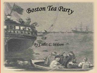
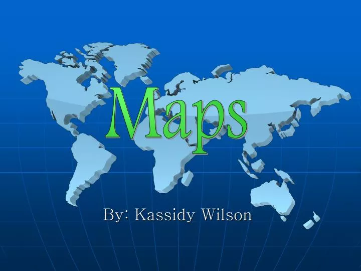
Maps. By: Kassidy Wilson. The students will learn…. How to use cardinal and intermediate directions to locate places on a map How to use a scale to determine distance between places on a map How to use the compass rose, grid, and symbols to locate places on a map

E N D
Maps By: Kassidy Wilson
The students will learn… • How to use cardinal and intermediate directions to locate places on a map • How to use a scale to determine distance between places on a map • How to use the compass rose, grid, and symbols to locate places on a map • How to draw maps using a title, compass rose, legend, scale, and grid system
Unit Questions • Why is it important to know how to read a map? • How do tools such as a compass rose or grid help us to locate different places? • What are some reasons why we need maps? • When would you need to use a map? • Where can you find maps?
Bloom’s Taxonomy • Knowledge: Teacher will give background info. and several examples of maps and how to use them properly • Comprehension: Group map quizzes will be given so that classmates can work together in using a map successfully. • Application: Students will be assigned an activity (on the next slide) in which they are to make their own maps. • Analysis : A class discussion will be held after the activity. • Synthesis: Students will be assigned a take home assignment similar to the activity completed at school. • Evaluation: At the end of the unit, students will be tested.
Activity Materials: Piece of paper Markers Process: Separate the students into pairs and give each pair a piece of paper and markers. Explain to the students that they are to draw a map of the school yard including all details. When the students are done drawing, they are to come up with a set of directions to a specific place. Have them write their names and their destinations on a separate piece of scratch paper, and turn them in. Collect all of the maps and redistribute them, one per pair. They are to follow the directions and the map to find the destination. Evaluation: Get together as a class and discuss the experience.
Texas Essential Knowledge and Skills §113.5. Social Studies, Grade 3. • (5) Geography. The student understands the concepts of location, distance, and direction on maps and globes. The student is expected to: • (A) use cardinal and intermediate directions to locate places such as the Amazon River, Himalayan Mountains, and Washington D.C. on maps and globes; • (B) use a scale to determine the distance between places on maps and globes; • (C) identify and use the compass rose, grid, and symbols to locate places on maps and globes; and • (D) draw maps of places and regions that contain map elements including a title, compass rose, legend, scale, and grid system.
References • "Bloom's Taxonomy of Learning Domains." Colocation Broadband Wireless Dedicated Servers DocSTAR DSL Web Hosting Web Design & Development - Infinity Internet. 04 Sep. 2010. <http://www.nwlink.com/~Donclark/hrd/bloom.html>. • Roblyer, M. D., and Aaron Herbert. Doering. Integrating Educational Technology into Teaching. Boston: Allyn and Bacon, 2010. Print. • "Texas Essential Knowledge & Skills (TEKS)." Welcome to the Texas Education Agency. 04 Sep. 2010. <http://ritter.tea.state.tx.us/teks/grade/Third_grade.pdf>