Download
1 / 15
150 likes | 157 Views
Barriers of China. Do now : Read the following information and answer question.

E N D
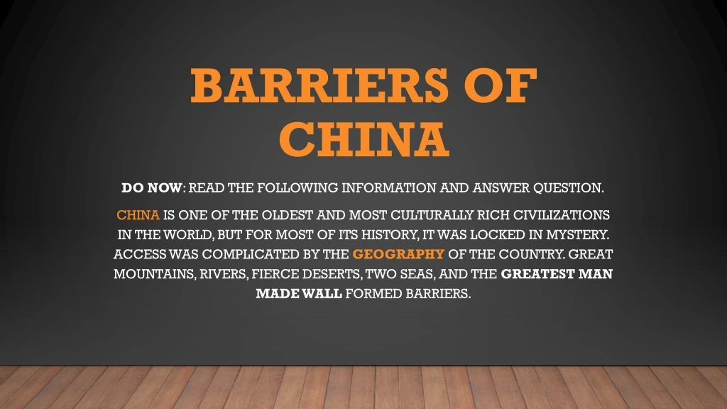
Barriers of China Do now: Read the following information and answer question. China is one of the oldest and most culturally rich civilizations in the world, but for most of its history, it was locked in mystery. Access was complicated by the geography of the country. Great mountains, rivers, fierce deserts, two seas, and the greatest man made wall formed barriers.
Do Now Question • How would long term isolation, enable China’s culture to remain mostly a secret? • Think about territories surrounding China. • Who would they be afraid to share their culture/technology with?
Mountains • The Himalayasedge southwestern China, encompassing Tibet and Nepal and forming a natural barrier along the border of India. Mount Everest, the world's tallest peak, is part of the Himalayan range. • China invaded the Himalayan country of Tibetin1959 and has since claimed Tibetan territory as its own. Tibetans have not fought China to become independent because fighting wars on mountains would not be easy or practical. Instead, they have come to terms with being part of China.
Mountains • The Himalayan Mountains are so high, that people are evolving differently (DNA, looks, languages, religions, traditions) because the mountains have caused extreme cultural divergence. Due to these mountains, invaders and enemies of China are not able to reach China from the Southwesternside. • Draw in, color, and label the Himalayan Mountains on your map. Use a series of Purple Triangles to represent the Mountains. Label Mt. Everest amongst the Himalayan Mountains.
Deserts • The Gobi (north) and Taklamakan deserts in (southwestern) China are massive, ancient seas with some of the driest conditions of any desert in the world. Taklamakan has perilous sand storms and drought, poisonous snakes and extreme weather. • The Gobi, which has a legendary bone collection, is the site of ongoing digs where some of the most spectacular paleontological finds have been discovered.
Deserts • Both deserts proved to be almost impossible to travel across without modern technology (trains, planes, cars). Since both deserts were expansive, foreign invaders and settlers did not cross them, allowing China to keep to itself. The Gobi and Taklamakan Deserts protected China from the north and west. • 2. Draw in, color, and label the Gobi and Taklamakan Deserts on your map. Use a series of orange dots to represent the deserts.
Rivers • The YangtzeRiver, which divides North China from South China, is the third longest in the world, next to the Nile and the Amazon. The Yellow River (Huang He) is nearly as long. Both rivers run through the center of China and have created important agricultural regions due to annual flooding. • Although both rivers are navigable(able to use large boats on them) they do not stretch across all of China. The Rivers are located in the eastern side of China. Due to not having major navigable rivers on the western front of China, in the past traveling across China was too dangerous and would have taken much too long.
Rivers • If you were to journey across the great expanse of china, it would have been a once in a lifetime trip, and hardly acceptable to move an army. China’s lack of navigable rivers creates a natural barrier, as the lack of western rivers made it nearly impossible to travel across China. • 3. Trace over the Yangtze and Yellow Rivers in Blue. Label them on your map.
Seas • China's coastline borders the Yellow Sea to the north and the EastChina Sea at the edge of the Pacific Ocean. Chinese navigators set sail in huge ships to explore the world long before European sailors discovered China. • Today, the seas play a significant factor in China's defensivestrategy. China has had a long history of creating a powerful naval presence. Almost just as important as naval power, is the geography of the coastline as well.
Seas • Large sections of China’s coast, are jagged rock faces with strong water currents and high waves. With landscapes like these, and a lack of gradual beaches, invaders coming from the sea would not be able to make landfall in China. • Today, Major Chinese ports are located on the ‘inside’ of China, following major rivers upstream, because the coastline is not suitable for large ships. This helped maintain China’s seclusion to the outside, keeping foreigners and potential invaders away.
Seas • 4. Outline the coastal areas of the Yellow Sea and East China Sea in Blue on your map. Label them. Label the Pacific Ocean on your map.
The Great Wall of China • The GreatWall of China is a series of fortifications made of stone, brick, wood, and other earthen materials, generally built along an east-to-west line across the historical northern borders of China to protect against the raids and invasions of various groups. • In actuality, several walls were being built as early as the 7th century, and later joined together and made bigger and stronger. • Today, they are now collectively referred to as the Great Wall of China. Although minimal in technological advancement, the wall was a maximum-security feature for China, and remains one of Man’s greatest feats.
The Great Wall of China • The Great Wall of China protected the Northern border of China for hundreds of years. Due to its imposing size, length, and stretch the wall also discourage countless attacks and invasions from occurring. For these reasons, the Great Wall of China is an amazing barrier, even if it is not a natural barrier. • 5. Draw in, color Red, and label the Great Wall of China on your map. Use the Internet as your source to determine where the wall is placed.
You better Check yourself, before you wreck yourself • Once map is completed hold it up for inspection by teacher.
Independent Practice/Exit • Independent Practice (WILL BE TURNED IN): three questions are to be completed on your own in complete Sentences. • Exit Ticket: Cut out your map of Chinas Barriers and glue it in your ISN for notes!