Download
1 / 13
130 likes | 252 Views
High Tech Hunt For Wetlands. Dr. Shawna Dark Department of Geography, Center for Geographic Studies California State University, Northridge. Martha Sutula, Ph.D. Southern California Coastal Water Research Project. Danielle Bram Center for Geographical Studies

E N D
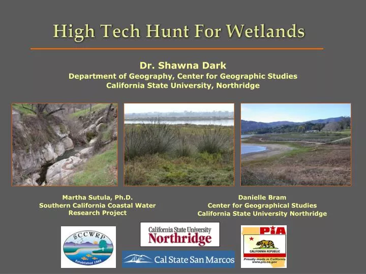
High Tech Hunt For Wetlands Dr. Shawna Dark Department of Geography, Center for Geographic Studies California State University, Northridge Martha Sutula, Ph.D. Southern California Coastal Water Research Project Danielle Bram Center for Geographical Studies California State University Northridge
Generally, a wetland is land that is periodically flooded, by the tide, the rise of river flows, rain, or--in some cases--human action. Among the several types of wetlands are marshes, swamps, rivers, vernal pools, lakes, and ponds. (State of California) What is a wetland?
Provide a Source of Water • Flood Control and Groundwater Recharge • Water Quality Protection and Improvement • Erosion Control • Fish and Wildlife Habitat • Biological Diversity • Recreation Why are wetlands important?
Project Overview • The primary objective of this project is to produce a full set of wetland and riparian habitat maps for the south coast region.
Statewide Inventory National Inventory WRP Regional Inventory Methodological Consistency Wetland & riparian habitat maps are consistent with statewide and national wetland inventories.
What is GIS? Wetlands Mapping Methodology
General Methodology Mapping with GIS Wetlands Mapping Methodology Field Validation Stakeholder Validation USFWS QC
Integrating GIS • Use of Hydrology tools in Spatial Analyst to generate flow accumulation models from 10 meter NED’s. Wetlands Mapping Methodology
Features Mapped Wetlands Mapping Methodology
Complicated features such as depressional wetlands, lakes, dams, etc. Features Mapped Wetlands Mapping Methodology h
Landscape Profiles Congressional District • Congressional District 23: Congresswoman Lois Capps • Congressional District 24: Congressman Elton Gallegy
National Wetlands Inventory http://www.fws.gov/nwi/ Southern California Wetlands Mapping Project http://www.socalwetlands.com